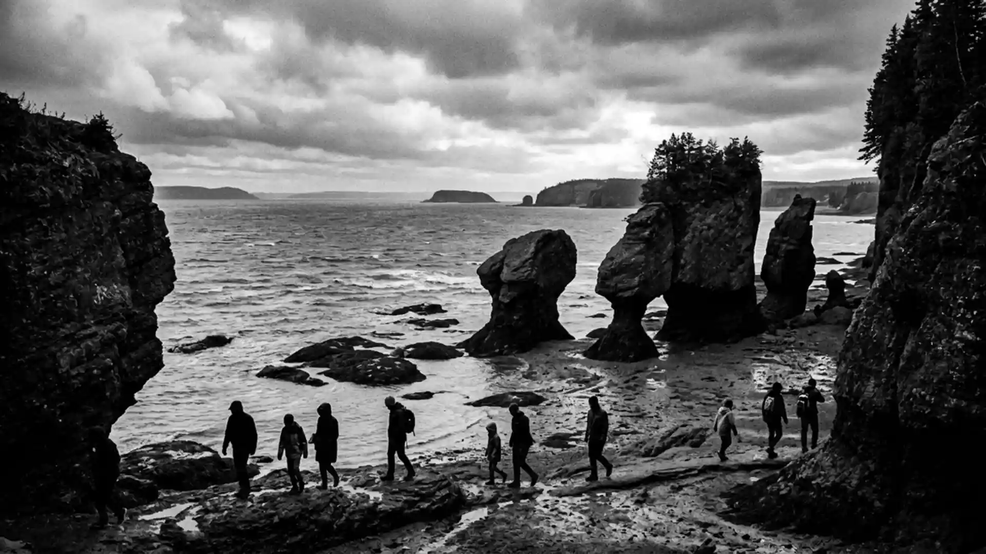
Bay of Fundy’s towering tides at Saint John
Published on 09/01/2026 at 18:53 | Editorial responsibility: Rafael Müller, Editor-in-Chief AD HOC NEWS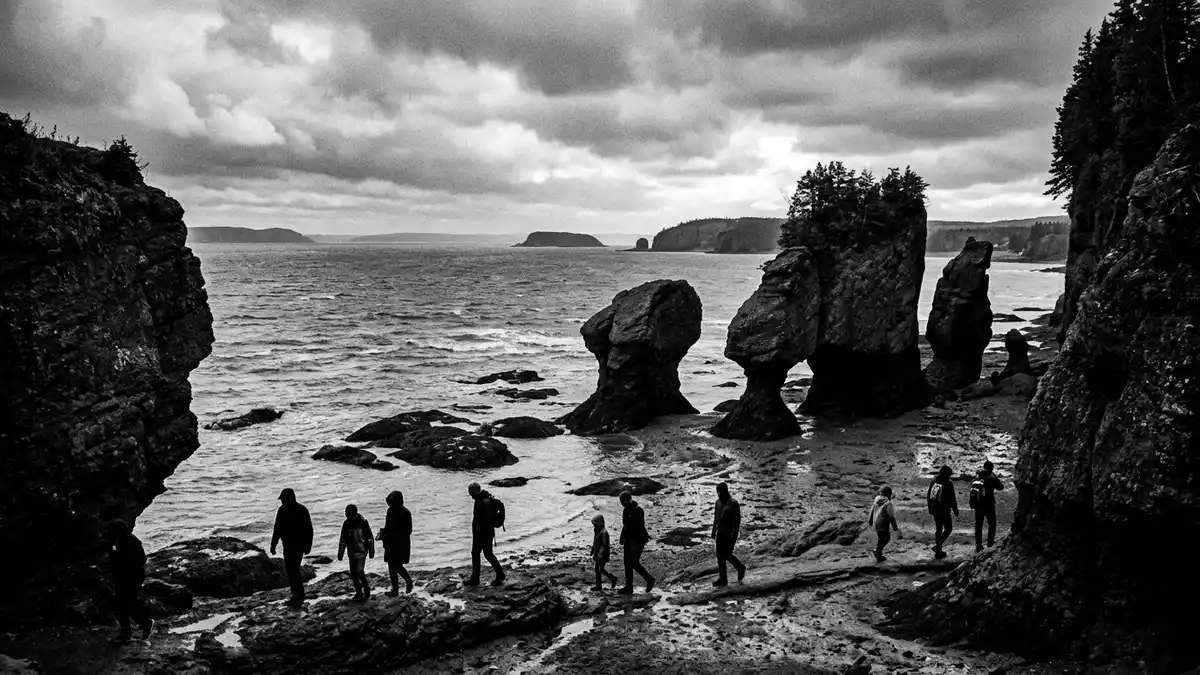
Along the coast of New Brunswick, the Bay of Fundy meets the port city of Saint John in a landscape defined by extreme tides and rock walls that drop sharply to the water. The bay forms part of the Gulf of Maine, between New Brunswick and Nova Scotia with a small reach towards Maine in the United States, and its tidal pulse governs the rhythm of Saint John’s harbour and river mouth.
Tidal range that rewrites the shoreline
The Bay of Fundy is widely recognised for having one of the highest tidal ranges recorded anywhere, with the difference between low and high tide reaching around 16 m (52 ft) in parts of the bay.tidal range in the Bay of Fundy Twice a day, vast quantities of seawater surge in from the Atlantic Ocean and then drain away again, exposing rock ledges, harbour walls and broad stretches of mudflat before covering them once more. The tides follow a semi-diurnal pattern, with two high tides and two low tides each day separated by a little over six hours.semi-diurnal tides
This extreme movement of water is linked to tidal resonance, where the time it takes a large wave to travel up and down the bay matches the natural rhythm of the ocean’s tides.near resonance with Atlantic tides From Saint John’s waterfront, the effect is visible in the changing water level against quays and rock faces and in the alternating exposure and immersion of low-lying shore. The harbour opens towards the main body of the bay, so vessels, wharves and industrial structures all sit within reach of these rapid vertical shifts.
Reversing Falls: where river and tide collide
At the mouth of the Saint John River, a narrow gorge forms one of the Bay of Fundy’s best known tidal spectacles: the Reversing Falls. Here the river runs through rock ledges before meeting the bay, and the semi-diurnal tides can drive seawater back against the river’s normal downstream flow when the tide is high.the Reversing Falls on the Saint John River At some points in the cycle, currents and rapids in the gorge change direction as sea and river water compete within a confined space.
The drop in water level through the gorge is concentrated over a short distance, creating fast-moving rapids and whirlpools above underwater ledges. Navigation through this stretch is timed around slack tide, when the difference between river and bay level temporarily reduces and the water surface becomes calmer for a brief period.description of the Reversing Rapids From viewing points near the bridges, it is possible to see successive phases of inflowing, level and outflowing water as the tides progress, each revealing different patterns of waves and eddies in the gorge.
Cliffs, basins and fossils along the bay
Beyond Saint John’s harbour, the Bay of Fundy is bordered in many sections by steep bedrock cliffs that can rise to around 60 m (200 ft), enclosing the water in a series of coves and channels.steep bedrock cliffs bound the bay The bay narrows inland into subsidiary inlets such as Chignecto Bay and Minas Basin, which further concentrate the tidal range. Its geological story reaches back to the late Triassic period, when rifting during the breakup of the supercontinent Pangaea formed the Fundy Basin and allowed thick sequences of sediment to accumulate.Fundy Basin rift geology
Basaltic lava flows and sedimentary layers produced a varied shoreline, with columnar jointing visible on islands and coastal sections and with fossil-bearing rocks exposed at low tide in several parts of the bay.basalt flows and fossil sites Around Saint John, provincial parks and protected areas along the Fundy coast combine forest, shore platforms and mudflats shaped by erosion and deposition. The city itself is one of the main settlements facing the bay, alongside communities such as St. Andrews and Grand Manan, each with harbours and ferry links that rely on the bay’s waters.
Visiting Bay of Fundy: what travellers from Western Europe should know
- The Bay of Fundy lies between New Brunswick and Nova Scotia on Canada’s Atlantic seaboard, with Saint John on the north-western shore and ferry links across the bay.
- The terrain around Saint John includes rock gorges, steep harbour embankments and coastal cliffs, and viewpoints near the Reversing Falls are reached by roads and footpaths above the river.
- Seasonal conditions bring marked differences in weather along the bay, and coastal areas combine exposed cliff edges with tidal shorelines where ground that is dry at low tide may be covered at high tide.
- The official languages in this part of Canada are English and French, and the currency is the Canadian dollar.
- Entry requirements depend on your nationality; UK travellers can check the FCDO travel advice at gov.uk/foreign-travel-advice, Irish travellers the Department of Foreign Affairs at ireland.ie.
Searching for Bay of Fundy on social platforms
These links open searches for Bay of Fundy on each platform.
Frequently asked questions about Bay of Fundy
Where is the Bay of Fundy in relation to Saint John?
The Bay of Fundy forms the coastal setting of Saint John in New Brunswick, with the city’s harbour and the mouth of the Saint John River opening directly towards the bay.
What can visitors expect during a tidal cycle?
Visitors see the harbour and nearby shore alternately drained and refilled as semi-diurnal tides raise and lower the water level by many metres between successive low and high tides.
What makes the Bay of Fundy distinctive among bays?
Its funnel-shaped basin, steep cliffs and near-resonant tidal rhythm combine to produce some of the world’s highest tidal ranges and phenomena such as the Reversing Falls at Saint John.