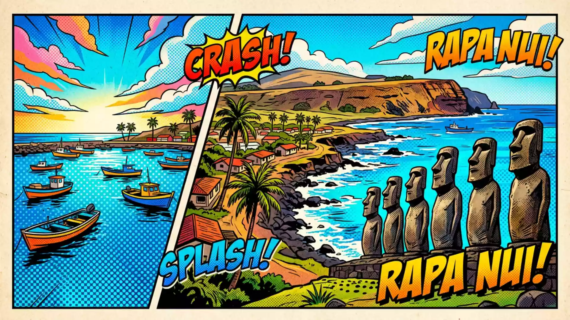
Binghamton study links Easter Island moai to water on 19 October
Published on 10/21/2026 at 20:32 | Editorial responsibility: Rafael Müller, Editor-in-Chief AD HOC NEWSFreshwater and monument locations
- Binghamton University reported the Easter Island findings on 19 October 2026.
- Rano Raraku connects the new interpretation of moai with the island's agricultural landscape.
- About 95% of the known statues were created at the volcanic quarry.
- Hanga Roa is the regional reference point for the Chilean island.
A Binghamton University study links Easter Island (Rapa Nui) moai locations with freshwater sources in a finding reported on 19 October 2026. The research concerns the relationship between the statues, their ceremonial platforms and the resources that supported island communities.
Freshwater research changes the map of Easter Island moai
The study examines why ahu, the monumental platforms supporting many moai, were built in particular locations. Researchers used quantitative spatial modelling to compare monument sites with freshwater, marine resources and rock mulch gardens.
The results indicate that ahu locations are associated with places where fresh groundwater emerges along the coast. The pattern also appears at inland monuments, where the researchers found nearby sources of drinking water. Binghamton University reported the study on 19 October 2026.
The researchers said the analysis tested an association that had previously been discussed by archaeologists but not demonstrated statistically. The work therefore connects the visible distribution of monuments with a practical resource on a remote island.
Rano Raraku places the findings inside a wider history
Rano Raraku, the volcanic quarry named in current archaeological reporting, is where about 95% of the island's known statues were created. Its slopes contain figures at different stages of carving, including statues that remain partly buried or connected to the volcanic rock.
A separate UCLA account published on 6 October 2026 describes excavations at the quarry and a petroglyph of a Polynesian canoe found on a small boulder beneath centuries of sediment near Moai 156. The account also reports evidence that mineral-rich material from carving helped create productive soil around the quarry. UCLA's excavation report places agriculture and monument production in the same landscape.
Taken together, the two October reports give Rano Raraku a more specific role than a quarry alone. The newer freshwater study addresses where ceremonial monuments stood, while the UCLA account examines how the quarry environment supported the people who carved them.
What the research adds to the island's visitor story
The findings concern the cultural landscape around the statues rather than a new monument or a new visitor facility. They offer a way to read the sites as locations shaped by water, food production, stoneworking and social life.
For travellers, that interpretation links the coastal ahu with the volcanic interior. It also places the moai within a wider system of resources rather than treating each statue as an isolated object.
Visiting Easter Island: what travellers from Western Europe should know
- The current news peg is the freshwater study reported by Binghamton University on 19 October 2026, concerning ahu and moai locations on Easter Island.
- The research does not announce a new opening or closure. Its named archaeological setting is Rano Raraku, the quarry associated with the study and with the production of about 95% of the island's known statues.
- Hanga Roa is the reference town for Easter Island, in Chile. The research itself identifies Rano Raraku and coastal freshwater sources rather than a particular transport route.
- Rano Raraku is a volcanic quarry landscape, with statues at varying stages of carving and burial. The physical setting is therefore archaeological terrain rather than an urban museum interior.
- Chile's official language is Spanish and its national currency is the Chilean peso.
- Entry requirements depend on your nationality; UK travellers can check the FCDO travel advice at gov.uk/foreign-travel-advice, Irish travellers the Department of Foreign Affairs at ireland.ie.
Searching for Easter Island on social platforms
These links open searches for Easter Island on each platform.
Frequently asked questions about Easter Island
What did the 19 October 2026 study find on Easter Island?
Binghamton University reported that ahu locations are associated with freshwater sources. The analysis examined freshwater alongside marine resources and rock mulch gardens.
What is Rano Raraku on Easter Island?
Rano Raraku is the volcanic quarry where about 95% of the island's known statues were created. Its landscape contains moai at different stages of carving and burial.
Where is Easter Island and how do you get there?
Easter Island is a Chilean island in the Pacific, with Hanga Roa as its reference town. The current research report names Rano Raraku and coastal freshwater sources but does not specify a travel route.