
Boka Kotorska: Montenegro’s fjord-like bay around Kotor
Published on 08/23/2026 at 11:29 | Editorial responsibility: Rafael Müller, Editor-in-Chief AD HOC NEWS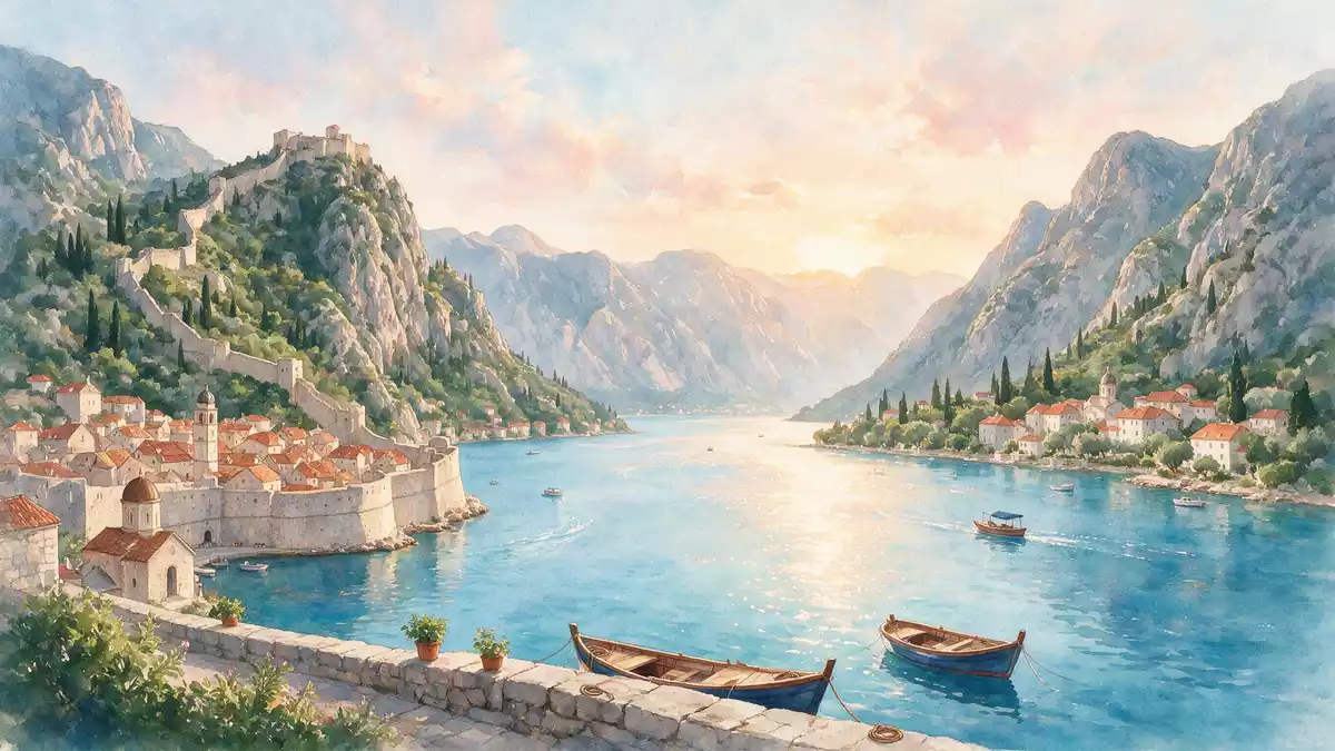
Boka Kotorska, the bay known in English as the Bay of Kotor, is a winding inlet of the Adriatic Sea in south?western Montenegro where steep mountains drop almost directly into the water. The inner part of this bay, around the town of Kotor, forms the core of a UNESCO World Heritage landscape that ties together seafront settlements, fortifications and a dramatic natural setting.
A fjord-like Adriatic bay framed by mountains
Boka Kotorska cuts inland from the Adriatic coast for close to 30 km, forming a sequence of basins linked by narrow straits that resemble a southern fjord. The bay’s shoreline runs for around 100 km, enclosed on most sides by the limestone massifs of the Dinaric Alps, including peaks such as Orjen that rise well above 1,800 m (5,900 ft).
Geographically, the bay is usually described as four connected bays: Herceg Novi, Tivat, Risan and Kotor, separated by narrows including the Kumbor and Verige straits. The water area covers about 87 km², and depths reach around 60 m (197 ft) in places, with steeper slopes dropping to flatter basin floors under water.
Historic towns and UNESCO protection around the inner bay
The innermost part of Boka Kotorska, beyond the Verige Strait, is recognised by UNESCO as the Natural and Culturo?Historical Region of Kotor. This protected area encompasses the old town of Kotor, its surrounding fortifications, nearby settlements such as Perast and Risan, and the high rocky slopes backing the shoreline.
Kotor itself grew as a walled port city, enclosed by stone ramparts that climb the hill to the fortress of St John, while Perast developed as a baroque seafaring town facing two small islands in the bay. The UNESCO property was inscribed in 1979 and covers about 14,600 ha, taking in both the cultural fabric of towns and monasteries and the cultivated terraced landscape on the lower mountain slopes.
Living landscape of water, villages and stone
Seen from the water, Boka Kotorska presents long stretches of stone waterfronts punctuated by historic towns, churches and small harbours. The coast belongs administratively to the municipalities of Kotor, Herceg Novi and Tivat, each with its own stretch of shoreline and hinterland climbing towards the surrounding mountains.
Behind the seafront, the landscape rises steeply into the Dinaric Alps, with terraced slopes, rocky outcrops and mountain roads giving views back across the bay’s folded basins. The combination of enclosed waters, narrow straits and high ridges creates a sequence of vistas, from the wider outer bay at Herceg Novi to the tight inner basin in front of Kotor’s walls.
Visiting Boka Kotorska: what travellers from Western Europe should know
- Boka Kotorska lies in south?western Montenegro, curving inland from the Adriatic between the coastal towns of Herceg Novi, Tivat, Kotor and Risan.
- The bay is reached by road along its shoreline and by regional buses linking Kotor with other Montenegrin and neighbouring cities.
- Tivat Airport serves the bay area and lies near the middle section of Boka Kotorska between Tivat and Kotor.
- Many viewpoints involve steep streets or hillside paths, and Kotor’s fortifications rise by a long, stepped route above the old town.
- The official language is Montenegrin and the currency is the euro.
Searching for Boka Kotorska on social platforms
These links open searches for Boka Kotorska on each platform.
Frequently asked questions about Boka Kotorska
Where is Boka Kotorska?
Boka Kotorska is a bay of the Adriatic Sea in south?western Montenegro, extending inland from the coast around the town of Kotor.
What can visitors expect when exploring the bay?
Visitors encounter a chain of coastal towns, stone waterfronts, churches and fortifications backed by high limestone mountains that enclose calm, fjord?like waters.
What makes Boka Kotorska distinctive compared with other Adriatic bays?
The combination of deep, winding basins, narrow straits, steep Dinaric Alps slopes and UNESCO?listed historic towns gives Boka Kotorska a pronounced fjord?like character.


