
Bryce Canyon National Park and its stone forest of hoodoos
Published on 09/23/2026 at 21:29 | Editorial responsibility: Rafael Müller, Editor-in-Chief AD HOC NEWS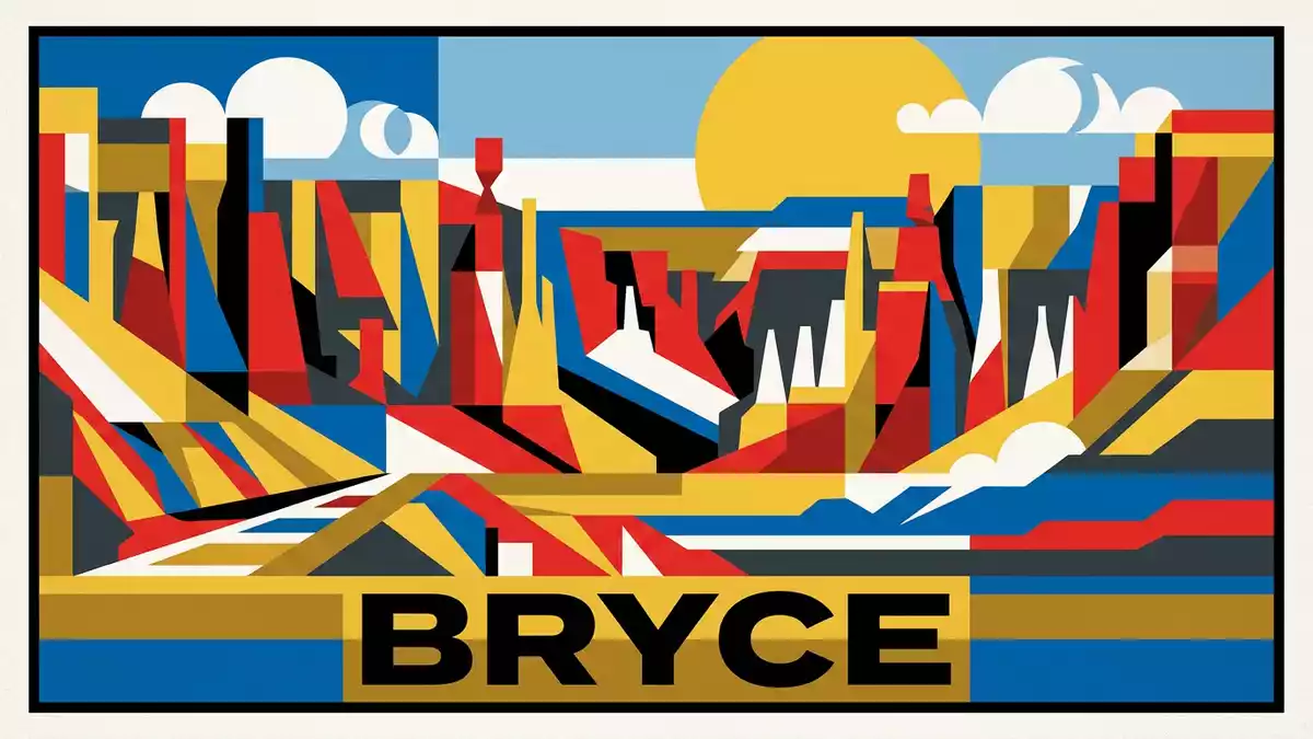
Bryce Canyon National Park is a high plateau landscape where pale, orange and red limestone stands in dense ranks of hoodoos. These narrow pillars fill amphitheatres along the Paunsaugunt Plateau, giving Bryce a stone forest whose forms change from fins and windows into towers and spires.
Hoodoos rising from the Paunsaugunt Plateau
Bryce Canyon National Park lies in south-central Utah, on the eastern edge of the Paunsaugunt Plateau. The park covers 35,835 acres and reaches elevations from roughly 2,000 m to 2,778 m (6,600 ft to 9,115 ft). Its highest point is Rainbow Point, at the southern end of the plateau.
The landscape is not a single canyon. It is a succession of amphitheatres carved into the plateau edge, with Bryce Amphitheater forming the best-known concentration of rock pillars. The walls contain fins, windows, bridges, arches and hoodoos, all cut from the Claron Formation, a colourful limestone and mudstone sequence. The park’s recorded history includes its national-monument designation on 8 June 1923 and its national-park name from 25 February 1928.
How water and ice shape the coloured rock
The layers beneath Bryce were deposited in freshwater lakes and floodplains between about 55 and 40 million years ago. Sediment accumulated in southern Utah before uplift raised the Colorado Plateau, placing the former lake beds high above sea level.
Weathering then exposed the structure of the Claron Formation. Rainwater dissolves parts of the calcium-rich rock, while freezing water widens cracks. A wall can become a fin, a fin can develop windows, and the collapse of a window roof can leave a hoodoo. The formation of Bryce’s hoodoos records these stages through visible changes in colour, width and height.
The colours range from cream and yellow to pink, orange and deep red. Iron compounds contribute to the warmer tones, while differences in the sediment produce bands and patches across the amphitheatre walls. The result is a landscape built from repeated vertical forms, not a single isolated rock.
Ebenezer Bryce and a national park in Utah
The park takes its name from Ebenezer Bryce, a nineteenth-century pioneer associated with the local settlement of Bryce. The surrounding plateau belongs to the Colorado Plateau, a broad geological region whose uplift exposed sedimentary rocks across the American Southwest.
Bryce Canyon National Monument was established in 1923. The name changed to Utah National Park in 1924, and Bryce Canyon National Park followed in 1928. The protected area includes high plateau, forest, meadows and amphitheatres, while its best-known scenery remains the dense collection of hoodoos along the eastern rim.
The geology of Bryce Canyon belongs to a wider sequence of sedimentary rocks. The park’s cliffs reveal layers from the Tertiary period, with older and younger deposits appearing in different parts of the plateau and its drainage areas.
Visiting Bryce Canyon National Park: what travellers from Western Europe should know
- Bryce Canyon National Park is in Garfield and Kane counties in south-central Utah. The nearest named gateway community is Bryce, and the park is reached by road across the Colorado Plateau.
- The terrain lies at high altitude, with the rim rising above 2,400 m (8,000 ft) in places. Trails descend among steep walls, loose rock and narrow passages beneath the amphitheatre rim.
- Bryce Amphitheater contains named viewpoints and walking routes beside the hoodoo formations. The plateau also extends south towards Rainbow Point and forested high country.
- The official language is English and the currency is the United States dollar.
Searching for Bryce Canyon National Park on social platforms
These links open searches for Bryce Canyon National Park on each platform.
Frequently asked questions about Bryce Canyon National Park
Where is Bryce Canyon National Park?
Bryce Canyon National Park is in south-central Utah, United States, along the eastern edge of the Paunsaugunt Plateau. Bryce is the nearby gateway community.
What can visitors expect at Bryce Canyon National Park?
Visitors encounter high rim viewpoints, amphitheatres, forested plateau and trails descending among hoodoos. The terrain includes steep gradients, loose rock and high-altitude paths.
What makes Bryce Canyon National Park distinctive?
Its amphitheatres contain dense ranks of hoodoos carved from the Claron Formation. Frost, rain and erosion have shaped the limestone into fins, windows, bridges and spires.


