
Cabo Girao and the glass edge above Madeira
Published on 09/23/2026 at 23:34 | Editorial responsibility: Rafael Müller, Editor-in-Chief AD HOC NEWS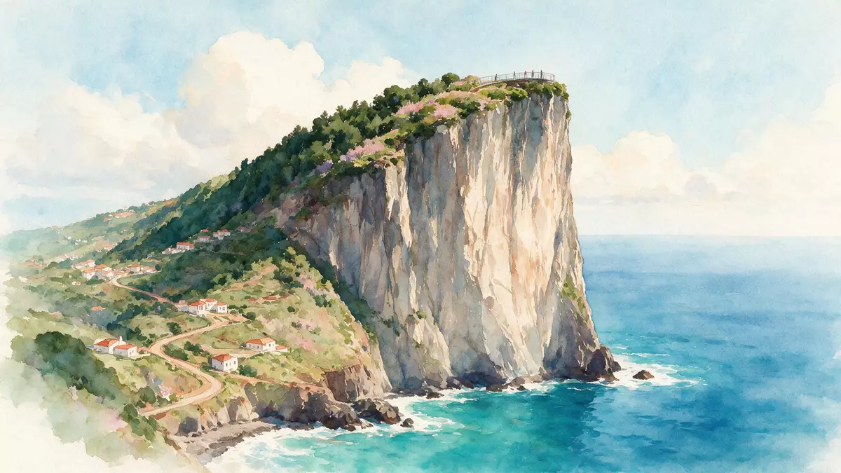
Cabo Girao rises above Camara de Lobos as a steep sea cliff facing the Atlantic Ocean. A glass-floored platform occupies the summit, placing the transparent surface above a landscape of basalt, cultivated terraces and open water.
Cabo Girao above the Atlantic
Cabo Girao stands on Madeira’s southern coast, west of Funchal and within the municipality of Camara de Lobos. The cliff reaches about 580 m (1,903 ft) above sea level, with the headland forming a high point between valleys that open towards the ocean.
The view combines several distinct layers. The upper edge is marked by dark volcanic rock, while the lower slopes descend towards narrow agricultural terraces and the sea. The settlement of Camara de Lobos lies nearby, and Funchal appears along the southern coast from the viewpoint.
The headland is part of Madeira’s volcanic landscape. Its exposed geology includes pyroclastic deposits and basaltic flows, cut by numerous vertical dykes. These materials record successive volcanic phases within the island’s intermediate volcanic complex.
Basalt, terraces and volcanic layers
At the base of Cabo Girao, sedimentary platforms known as fajãs extend between the cliff and the water. Fajã dos Asnos is associated with landslide deposits and contains cultivated land, while rocky shore material includes gravel, boulders and rounded pebbles.
The lower terraces give the cliff a second visual register. From above, fields appear as narrow cultivated patches beneath the near-vertical wall. Their scale contrasts with the broad Atlantic surface and the dark face of the headland.
The geological setting is recorded in Madeira’s inventory of geosites as the Miradouro do Cabo Girão. The site is classified under volcanology and stratigraphy, with the belvedere positioned above the cliff’s exposed volcanic structure. Madeira’s geological profile describes the pyroclastic deposits, basaltic flows and dykes visible in the landscape.
From coastal landmark to glass platform
Cabo Girao served as a coastal reference point during the early recognition of Madeira’s shoreline. Its name is linked to that maritime setting, while its high position made the promontory a visible feature of the southern coast.
A formal viewpoint was established in the twentieth century. The belvedere was commissioned on 1 September 1938 during the construction of the access road to the headland, giving the site a defined public viewing function. The 1938 viewpoint marks an important date in Cabo Girao’s visitor history.
The glass platform was introduced in 2012. Its transparent floor projects beyond the cliff edge, with metal framing and railings enclosing the viewing area. The platform sits above the same volcanic wall that shaped the headland long before the viewpoint existed.
The contrast is direct: a modern glazed surface occupies a historic coastal promontory, while the underlying cliff remains a natural formation of volcanic deposits and basalt. Cabo Girao’s official location is Estrada do Cabo Girão in Camara de Lobos.
Visiting Cabo Girao: what travellers from Western Europe should know
- Cabo Girao lies in Camara de Lobos on Madeira’s southern coast, west of Funchal. Estrada do Cabo Girão leads to the viewpoint, and road transport is the practical approach.
- The viewpoint stands at about 580 m (1,903 ft) above sea level. Paved surfaces lead across the summit, while the glass platform overlooks the steep volcanic cliff and the lower fajãs.
- The surrounding landscape contains exposed basalt, pyroclastic deposits, agricultural terraces and a rocky Atlantic shore. The terrain below the viewpoint is steep and uneven.
- The official language is Portuguese and the currency is the euro.
Searching for Cabo Girao on social platforms
These links open searches for Cabo Girao on each platform.Frequently asked questions about Cabo Girao
Where is Cabo Girao?
Cabo Girao is on Madeira’s southern coast, within Camara de Lobos municipality and west of Funchal. The viewpoint stands above the Atlantic-facing cliff.
What can visitors expect at Cabo Girao?
The summit contains a paved viewpoint and a glass-floored platform above the volcanic cliff. Views include the ocean, lower agricultural terraces, Camara de Lobos and parts of Funchal.
What makes Cabo Girao distinctive?
Its summit combines a 580 m (1,903 ft) sea cliff with a transparent viewing platform. The surrounding rock records volcanic deposits, basaltic flows and vertical dykes.


