
Cap de Formentor, where Mallorca’s mountains meet the sea
Published on 09/08/2026 at 11:50 | Editorial responsibility: Rafael Müller, Editor-in-Chief AD HOC NEWS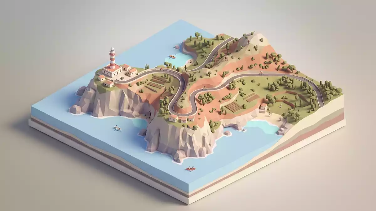
Cap de Formentor is the northernmost point of Mallorca, a rocky headland where the Serra de Tramuntana range tapers into the Mediterranean in a series of high cliffs and narrow coves.northernmost point of Mallorca The cape lies within the municipality of Pollença in Spain’s Balearic Islands, at the tip of the Formentor peninsula that stretches away from Port de Pollença.
Meeting point of winds and Jurassic cliffs
The Formentor peninsula is a long, narrow spur of land, around 20 km in length, with mountains aligned along its spine before ending abruptly at Cap de Formentor.20-kilometre peninsula Locals refer to this exposed tip as the meeting point of winds, a reflection of how air currents from different directions converge where rock and sea collide.
The cliffs of Cap de Formentor form part of the Serra de Tramuntana and are composed largely of hard limestones dating to the Lower Jurassic period, roughly between 200 and 175 million years ago.massive limestones of the Lower Jurassic These rocks were folded and stacked during the Alpine orogeny in the Lower Miocene, creating thrust faults that give the range a steep north-western face and gentler slopes on the south-east side.Alpine orogeny thrust faults
Lighthouse at the end of the road
A winding mountain road runs along the peninsula to the lighthouse of Cap de Formentor, a white tower that has become a visual marker for the cape.winding road and lighthouse The route follows the contours of the limestone ridges, with sections cut into the rock above sheer drops to the sea and others passing inland above wooded hollows and dry ravines.
The lighthouse stands on a rocky promontory high above sea level, with terraces and paths around it from which the coastal alignment of the Serra de Tramuntana can be seen stretching back towards Mallorca’s interior.phare du Cap de Formentor From the headland, the coastline falls away in cliffs broken by small inlets such as Cala Murta and the bay at Platja de Formentor, where pines reach down towards the shore.Cala Murta and Platja de Formentor
Serra de Tramuntana, coves and coastal landscape
Cap de Formentor marks the northern limit of both the Serra de Tramuntana and the north coast of Mallorca, closing the Bay of Pollença on its seaward side.limits of Serra de Tramuntana The headland itself is cut by aligned mountain ridges such as Cavall Bernat, controlled by tectonic structures that have lifted blocks of rock into horsts and dropped others into grabens.Cap Formentor geomorphology
The result is a coastal landscape of abrupt slopes, broken edges and small coves where Jurassic limestones meet Quaternary coastal deposits, shaped into cliffs, ledges and narrow shorelines by waves and weather.coastal modelling forms Inland, the peninsula carries a mix of Mediterranean vegetation and scattered buildings, while the road and viewpoints trace the transition from sheltered bays to the exposed tip of Cap de Formentor at the edge of Mallorca.
Visiting Cap de Formentor: what travellers from Western Europe should know
- Cap de Formentor lies on the Formentor peninsula in the far north of Mallorca and is reached by road from Port de Pollença, with the route climbing through the Serra de Tramuntana.
- The terrain consists of steep limestone cliffs and twisting mountain roads, with sections where the carriageway runs high above drops to the sea and paths over uneven rocky ground.
- Nearby, Platja de Formentor offers a sheltered bay backed by pines, while smaller coves such as Cala Murta sit beneath the cliffs along the same stretch of coast.
- The official language is Spanish and the currency is the euro.
Searching for Cap de Formentor on social platforms
These links open searches for Cap de Formentor on each platform.
Frequently asked questions about Cap de Formentor
Where is Cap de Formentor located?
Cap de Formentor is at the northernmost point of Mallorca on the Formentor peninsula, in the municipality of Pollença in the Balearic Islands of Spain.
What can visitors expect when they reach the cape?
Visitors encounter high limestone cliffs, a winding mountain road ending beside a lighthouse and views over coves such as Platja de Formentor and Cala Murta.
What makes Cap de Formentor distinctive compared with other Mallorcan coasts?
Its combination of Jurassic limestone cliffs formed by thrust faults, the exposed position at the end of the Serra de Tramuntana and the lighthouse on the headland gives the cape a markedly rugged character.


