
Ciudad Encantada, a stone city carved by time near Cuenca
Published on 08/16/2026 at 14:36 | Editorial responsibility: Rafael Müller, Editor-in-Chief AD HOC NEWS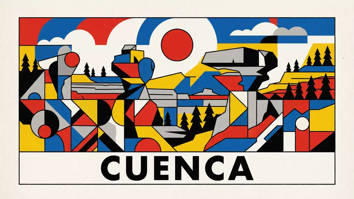
Ciudad Encantada, in the hills north of Cuenca in Spain, is a limestone landscape where erosion has created something that reads like a stone-built city laid out on a plateau. The site lies within the Serranía de Cuenca and has been protected as a nature area since the early twentieth century, giving its unusual rock forms an official status as well as a visual presence on the high ground above the Júcar river valley.
A karst “city” in the Serranía de Cuenca
The core of Ciudad Encantada is a karst landscape: a field of pale rocks shaped over long periods by water, wind and temperature changes into blocks, pillars and ledges that resemble built structures. In plan it occupies part of a wider limestone plateau in the Serranía de Cuenca, with the site falling within the municipal territory of Cuenca and in the district around Valdecabras, above a canyon cut by the Júcar river into the surrounding rock.karst landscape Many of the outcrops rise as isolated masses, with horizontal bedding still visible, so that from ground level they read as detached walls or towers separated by alleys of bare earth and vegetation.
The rock itself belongs to a unit known in geological literature as the Ciudad Encantada dolomites, laid down in the late Cretaceous period and later exposed and dissected by erosion. In several areas the tops of the blocks remain broad and relatively flat, while the lower parts have been narrowed or hollowed, creating forms that resemble broad platforms perched on narrower bases. This pedestal-like shape recurs along the main walking route and contributes to the sense of a constructed place in which roofs and upper storeys sit on compressed supports.Ciudad Encantada dolomites
From ruiniform relief to the “Enchanted City”
Ciudad Encantada takes its name from the way these rocks mimic familiar forms and suggest streets, squares and façades. The Spanish name, literally “Enchanted City”, has been in use for more than a century and has passed into several languages along with the idea of a city-like landscape of stone.Enchanted City On the ground, the path leads between blocks that recall buildings set along a lane, open clearings that read as squares, and natural partitions that resemble internal walls, all formed by differential erosion along joints and bedding planes in the limestone and dolomite.
The site’s status followed from this mixture of geological interest and visual effect. In 1929 Ciudad Encantada was declared a Natural Site of National Interest, one of the early formal protections applied to a Spanish landscape of this type.Natural Site of National Interest Later it was included within the boundaries of the Serranía de Cuenca protected area, which extends across a large section of the surrounding hills and plateaus.Serranía de Cuenca protected area The protected designation recognises both the ruiniform relief—an irregular landscape of eroded stone—and the associated ecosystems that have developed among the rocks and in the pine woods around them.
Walking among figures, pinnacles and pine woods
A visit to Ciudad Encantada follows a marked route across the plateau, weaving among the major groups of rocks and through stands of coniferous trees. The ground alternates between exposed limestone, soil and pine needles, with some sections passing close to abrupt drops at the edges of blocks or along small escarpments cut by water. The layout reveals how water has carved channels into the plateau and isolated thicker beds into blocks, leaving the visitor moving through a sequence of natural rooms and corridors.
Individual formations carry names that echo the figures and objects they resemble, and one of the best known is Tormo Alto, a prominent block with a narrowed base that has become an emblem of the site.Tormo Alto Around it and elsewhere, some rocks suggest profiles of animals, others the silhouettes of ships, arches or massive tables; the route is arranged so that these features come into view along the way rather than forming a single panorama. Between the stone groups, the plateau supports pine woods and undergrowth typical of the Serranía de Cuenca, tying the rock landscape into a wider highland environment.
Visiting Ciudad Encantada: what travellers from Western Europe should know
- Ciudad Encantada lies in the Serranía de Cuenca, north of the city of Cuenca in central Spain, and is reached by road in the direction of Valdecabras along the CM-2104 route.
- The terrain consists of uneven limestone blocks, natural steps and earth paths, with sections where the route crosses or descends short rocky slopes between formations.
- The plateau stands at a notable altitude above sea level, and weather on the Serranía de Cuenca can vary markedly from that in Cuenca itself.
- The official language is Spanish and the currency is the euro.
Searching for Ciudad Encantada on social platforms
These links open searches for Ciudad Encantada on each platform.
Frequently asked questions about Ciudad Encantada
Where is Ciudad Encantada?
Ciudad Encantada is in the Serranía de Cuenca highlands in central Spain, within the municipality of Cuenca and near the locality of Valdecabras.
What should visitors expect on a visit?
Visitors walk a marked route between limestone blocks and pine woods on a plateau, seeing rock formations that resemble buildings, figures and objects along the way.
What makes Ciudad Encantada distinctive among Spanish landscapes?
Ciudad Encantada combines a karst rock field and highland forest with formations such as Tormo Alto that read as a stone-built city, under official protection dating from 1929.


