
Cotopaxi National Park hosts Vuelta al Cotopaxi in September
Published on 09/27/2026 at 08:52 | Editorial responsibility: Rafael Müller, Editor-in-Chief AD HOC NEWS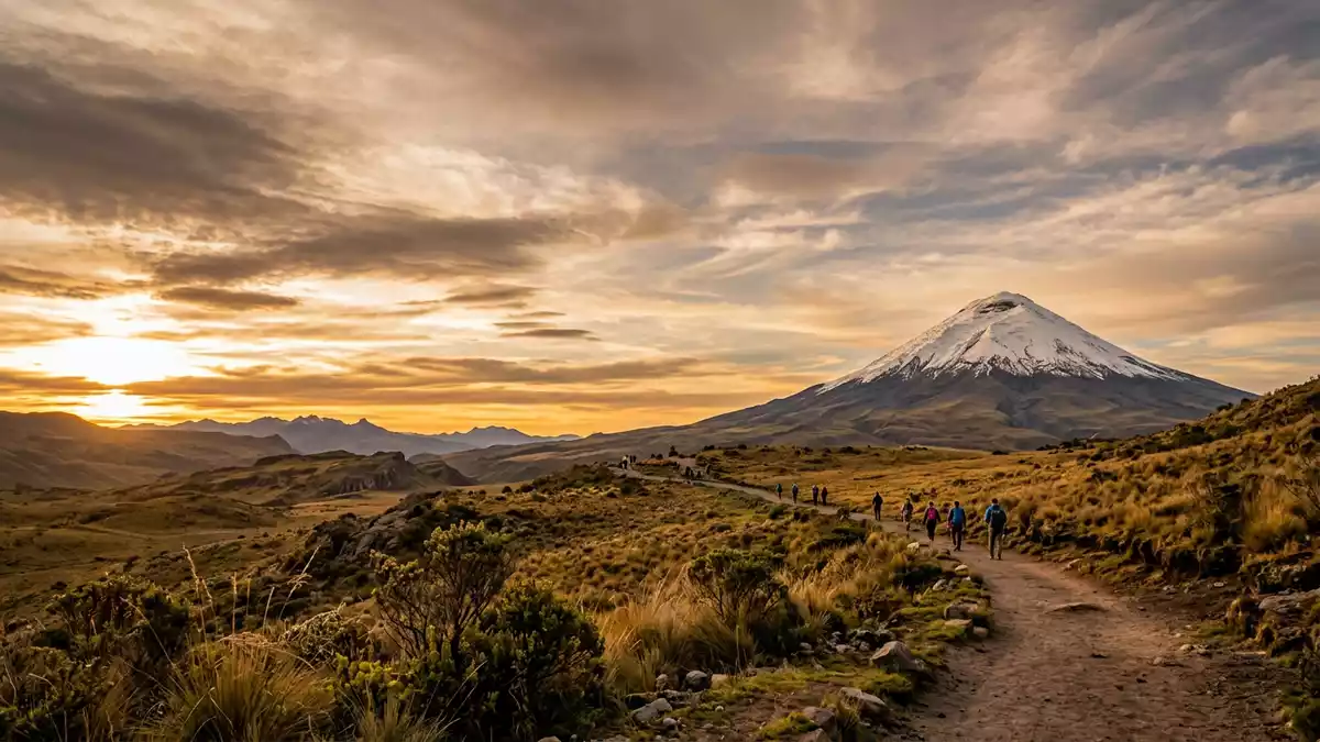
Cotopaxi National Park and the Vuelta al Cotopaxi came together in Ecuador on 25 and 26 September 2026, when the mountain-bike race used paths and trails around the volcano. The event is linked to Latacunga and the protected high-Andean landscape surrounding the 5,897-metre summit.
Vuelta al Cotopaxi ran in two stages on 25 and 26 September
The 22nd edition of the Vuelta al Cotopaxi was scheduled as a two-day mountain-bike race. The organiser, Proyecto Aventura, listed a general start at 8am on 25 September 2026 and a second-stage start at 8.15am on 26 September 2026. Its programme also set a camping-equipment handover on 25 September and a baggage transfer before the second stage.
The race required teams of two riders to complete the route together. The organiser described the course as a journey along roads and trails around Cotopaxi volcano, with a general camp between the two stages. The event therefore placed the protected area at the centre of the sporting programme rather than using the park as a passing reference. The organiser's 2026 timetable records the dates and stage starts.
High-altitude paths connect the race with the volcano
The park is dominated by Cotopaxi, an active volcano rising to 5,897 metres. Ecuador's national protected-areas system describes the surrounding landscape as primarily moorland and places the site close to both Quito and Latacunga. The protected area also includes Morurco, at 4,880 metres, and Rumiñahui, at 4,722 metres. The protected-area profile identifies the volcano, routes and facilities within the park.
The race's two-stage format mirrors the terrain described by the organiser: riders move through roads, trails and high mountain páramo rather than a conventional urban circuit. That setting also explains why the programme combined competition with camping and equipment transport between stages. A route around the volcano gives the event its direct connection with the national park's geography.
What the 2026 race meant for access and conservation
Reporting by Primicias said the course was coordinated with the park and that participation was limited to 200 pairs, or 400 riders, to reduce environmental pressure. The same report described the route as crossing trails, roads and páramo around the volcano. Coverage of the conservation limit connects the race's format with management of the protected area.
Visiting Cotopaxi National Park: what travellers from Western Europe should know
- The Vuelta al Cotopaxi took place on 25 and 26 September 2026, with stage starts at 8am and 8.15am respectively.
- The event was a mountain-bike race on roads and trails around Cotopaxi volcano, and its two-person teams were required to remain together.
- The park lies in Ecuador's central Andes, with access from the Quito-Latacunga corridor and a northern approach via Machachi and Güitig, according to the protected-area authority.
- Visitors encounter high-altitude páramo. The official profile places the José Ribas shelter at 4,810 metres, while the approach from the car park involves a steep walk.
- Ecuador's official language is Spanish and its national currency is the US dollar.
- Entry requirements depend on your nationality; UK travellers can check the FCDO travel advice at gov.uk/foreign-travel-advice, Irish travellers the Department of Foreign Affairs at ireland.ie.
Searching for Cotopaxi National Park on social platforms
These links open searches for Cotopaxi National Park on each platform.
Frequently asked questions about Cotopaxi National Park
When did the Vuelta al Cotopaxi take place at Cotopaxi National Park?
The 22nd Vuelta al Cotopaxi took place on 25 and 26 September 2026 in two mountain-bike stages around Cotopaxi volcano.
What is Cotopaxi National Park?
It is a protected Andean landscape dominated by the active Cotopaxi volcano, which rises to 5,897 metres.
Where is Cotopaxi National Park and how do you get there?
The park is in Ecuador's central Andes near Latacunga and Quito. The official access profile describes approaches from the Quito-Latacunga corridor and from Machachi.


