
Cradle Mountain and Tasmania’s dolerite high country
Published on 09/08/2026 at 10:32 | Editorial responsibility: Rafael Müller, Editor-in-Chief AD HOC NEWS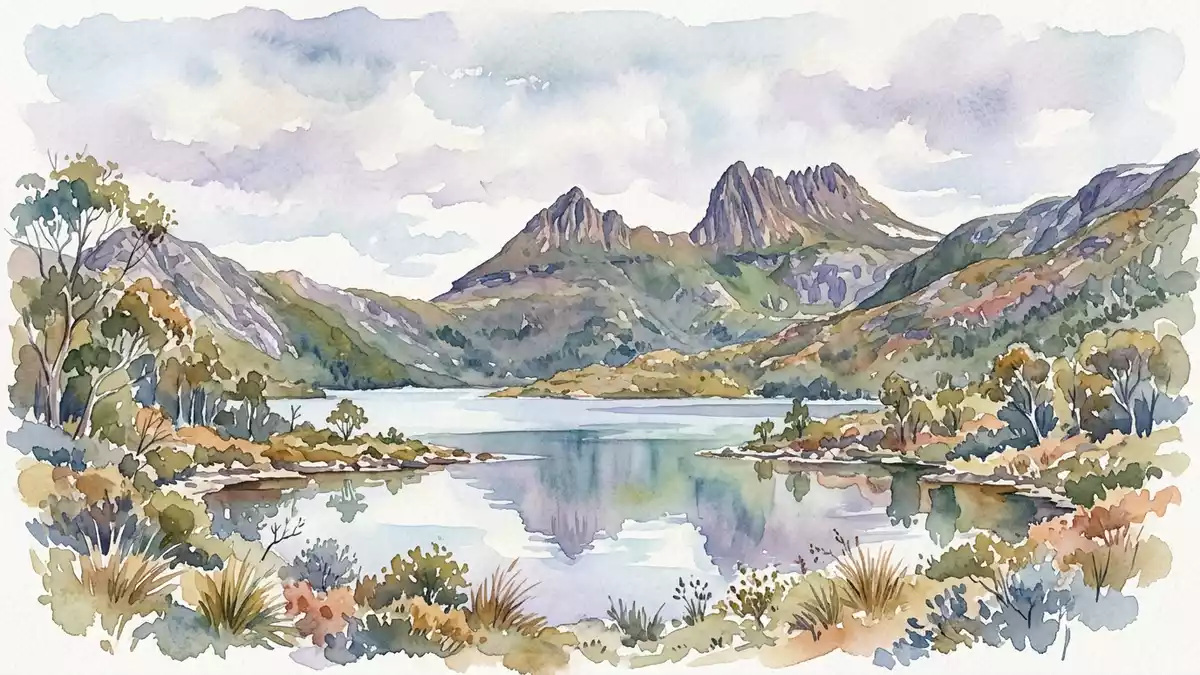
Cradle Mountain rises in Tasmania’s north-west as a dolerite peak within Cradle Mountain-Lake St Clair National Park. Its jagged summit, 1,545 m (5,069 ft) high, is part of the Tasmanian Wilderness World Heritage Area.
Cradle Mountain’s dolerite crown
The mountain is built from Jurassic dolerite, a hard igneous rock that caps much of the reserve’s higher ground. In the Cradle Mountain area, that dolerite sits above older Permian and Triassic sediments, giving the landscape its abrupt contrasts of cliff, bench and ridge.
The summit mass includes several named tops, with Cradle Mountain forming the highest point. The wider park also includes Barn Bluff, Mount Ossa, Mount Pelion East, Mount Pelion West and Lake St Clair, so the mountain sits within a broader alpine chain rather than standing alone.
Jurassic dolerite gives the mountain its hard profile, while the reserve’s broader geology includes Precambrian schists and quartzites beneath the higher country.
Glacial terrain around the mountain
The surrounding park is a glaciated landscape with lakes, tarns, moraines and U-shaped valleys. Dove Lake lies close to the mountain and frames much of the classic northern approach to the area.
Cradle Mountain-Lake St Clair National Park belongs to the Tasmanian Wilderness World Heritage Area, inscribed in 1982 and extended in 1989 to include cultural heritage as well as natural values. The same protected complex also covers a large tract of west-central Tasmania.
inscribed in 1982 places the mountain within a formally recorded world heritage landscape, while the park’s alpine scenery reflects glacial erosion and deposition.
A landscape of tracks, lakes and alpine rock
The mountain’s visual character comes from sharp dolerite edges, pale scree and the darker bands of surrounding rock. In this part of Tasmania, the geology reads directly in the landform: steep rock faces, layered slopes and broad, open saddles.
The reserve’s vegetation ranges from rainforest to buttongrass moorland and alpine communities. At higher levels, the ground is exposed and rocky, with the mountain’s summits and neighbouring peaks forming the most conspicuous line on the horizon.
1,545 m summit is the mountain’s key figure, and the surrounding park contains four summits on the mountain itself.
Visiting Cradle Mountain: what travellers from Western Europe should know
- The mountain lies in north-west Tasmania within Cradle Mountain-Lake St Clair National Park. It is reached through the Cradle Valley access point, with Dove Lake and the park’s visitor facilities nearby.
- The summit terrain is alpine and rocky, with steep sections and exposed dolerite. Conditions change quickly in high country, and the mountain’s paths cross uneven ground.
- The area sits within a world heritage landscape that includes glaciers, lakes and high peaks. Cradle Mountain is linked to the Overland Track, one of Tasmania’s best-known long-distance walks.
- The official language is English and the currency is the Australian dollar.
- Entry requirements depend on your nationality; UK travellers can check the FCDO travel advice at gov.uk/foreign-travel-advice, Irish travellers the Department of Foreign Affairs at ireland.ie.
Searching for Cradle Mountain on social platforms
These links open searches for Cradle Mountain on each platform.
Frequently asked questions about Cradle Mountain
Where is Cradle Mountain?
Cradle Mountain is in north-west Tasmania, inside Cradle Mountain-Lake St Clair National Park. It forms part of the Tasmanian Wilderness World Heritage Area.
What defines a visit to Cradle Mountain?
The mountain is a high alpine place with dolerite slopes, lake country and walking tracks. Visitors encounter a landscape shaped by rock, ice and altitude.
What makes Cradle Mountain distinctive?
The peak is distinctive for its hard dolerite summit and its setting among glacial landforms. The mountain’s profile is one of Tasmania’s clearest combinations of rock and ice-age terrain.


