
El Nido and the limestone islands of Bacuit Bay
Published on 09/24/2026 at 02:20 | Editorial responsibility: Rafael Müller, Editor-in-Chief AD HOC NEWS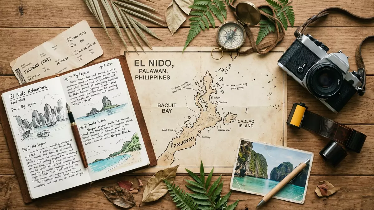
El Nido is a coastal municipality at the northern tip of Palawan, where limestone cliffs rise from Bacuit Bay beside beaches, forests and marine habitats. The visible form of the place is a meeting of pale sand, green water and steep karst islands, with the town facing an archipelago of rock, vegetation and sheltered inlets.
El Nido’s limestone coast and Bacuit Bay
The shoreline around El Nido belongs to a karst landscape. Limestone forms cliffs, ridges, caves and overhangs across the mainland and offshore islands. In many parts of Bacuit Bay, rock faces descend almost directly towards the water, while narrow beaches occupy the spaces between headlands.
The municipal area includes the town, coastal villages, islands and islets. Cadlao is among the named islands of the bay, whose scattered landforms create a succession of channels, coves and enclosed lagoons. The Bacuit rock formation underlies much of this scenery, with uplifted limestone shaped by geological processes across immense spans of time.
From Bacuit to El Nido
El Nido was known as Bacuit before the municipal name changed in 1954. The name El Nido means “The Nest” in Spanish and refers to edible swiftlet nests found in caves and crevices within the limestone cliffs.
Swiftlets remain part of the cultural and natural identity of the coast. Their nesting places connect the name of the municipality with the rock landscape surrounding it. Human settlement in the Bacuit Bay area reaches back to at least 2800 BC, while archaeological evidence at Dewil Valley indicates an earlier human presence.
The region’s conservation history has several defined stages. Bacuit Bay became a marine reserve in 1991, and the protected area expanded in 1998 to include terrestrial ecosystems and parts of Taytay. The 1998 protected-area expansion brought land and sea within the El Nido-Taytay Managed Resource Protected Area.
Land, sea and protected habitats
The El Nido-Taytay Managed Resource Protected Area covers over 36,000 hectares of land and 54,000 hectares of marine waters. Its landscape includes limestone cliffs, beaches, mangroves, forests over limestone, coral reefs and seagrass habitats.
Bacuit Bay contains marine life associated with tropical coastal waters, including dugongs, dolphins, marine turtles and reef fish. On land, Palawan species include the Malayan pangolin, Palawan hornbill, Palawan scops owl and Palawan peacock pheasant. The protected area has also been included on the Philippines’ UNESCO World Heritage Tentative List as a natural property.
The municipal tourism office places El Nido between the South China Sea and the Sulu Sea, with the Bacuit Archipelago forming part of the protected coastal setting. It identifies 45 islands and islets within the archipelago. From the mainland, the relationship between town, bay and islands remains legible: streets and shore face open water, while dark limestone walls mark the horizon beyond.
Visiting El Nido: what travellers from Western Europe should know
- El Nido lies in northern Palawan, Philippines, on the mainland coast facing Bacuit Bay. Flights connect the area with Manila, Cebu and Clark, while Puerto Princesa provides a mainland route by road.
- The landscape is explored through coastal water, beaches, caves and limestone islands. Shorelines can be rocky, narrow or enclosed by steep cliffs.
- The official language is Filipino and English, and the currency is the Philippine peso.
- El Nido sits within a protected landscape that includes marine waters, mangroves, coral reefs, seagrass and forests over limestone.
Searching for El Nido on social platforms
These links open searches for El Nido on each platform.Frequently asked questions about El Nido
Where is El Nido?
El Nido is a coastal municipality at the northern tip of mainland Palawan in the Philippines. It faces Bacuit Bay between the South China Sea and the Sulu Sea.
What does a visit to El Nido involve?
The landscape combines a mainland town with beaches, limestone cliffs, caves, lagoons and offshore islands. Boat routes connect parts of Bacuit Bay, while land areas include coastal villages and forested limestone terrain.
What makes El Nido distinctive?
Its identity rests on the close relationship between karst geology and marine habitats. Limestone islands, swiftlet caves, coral reefs, mangroves and protected waters belong to the same coastal setting.


