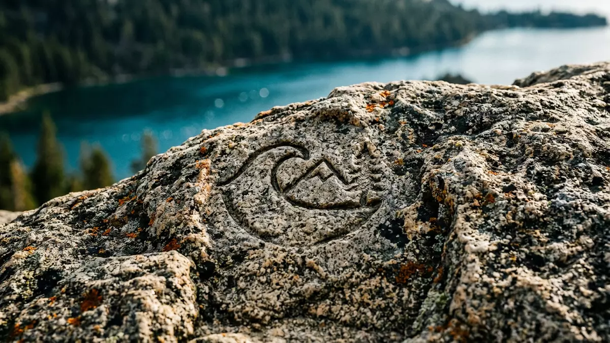
Emerald Bay’s deep blue cove and island at Lake Tahoe
Published on 08/12/2026 at 13:45 | Editorial responsibility: Rafael Müller, Editor-in-Chief AD HOC NEWS
Emerald Bay on the California side of Lake Tahoe gathers steep Sierra forest, blue-green water and a lone granite island into one compact, dramatic cove. Part of Emerald Bay State Park since 1953, it lies a short way north of South Lake Tahoe along Highway 89 and forms one of the most recognisable natural settings on this stretch of the Sierra Nevada.
A narrow bay framed by Sierra granite
Emerald Bay cuts into the western shore of Lake Tahoe as a long, narrow inlet, about 2.7 km in length with a width of roughly 1 km at its broadest point.The bay’s dimensions make it feel enclosed compared with the open expanse of the main lake, with densely wooded slopes rising directly from the water on three sides. The surrounding ridges form a natural amphitheatre, so views from the highway look across the full sweep of the inlet towards the mountains beyond.
The water in this part of Lake Tahoe takes on a distinctive blue-green tone because the bay is shallower than the central basin of the lake.This contrast with the deeper water offshore is clearly visible from turnouts along Highway 89, where the darker blue of Lake Tahoe frames the lighter colours of the bay. On clear days the shoreline reveals pale, rounded granite boulders under the surface, especially close to the beaches at the head of the bay.
Emerald Bay State Park and Vikingsholm
The landscape around the inlet forms Emerald Bay State Park, a protected area created in 1953 that covers more than 600 ha of forest, shoreline and underwater terrain.The park’s establishment in 1953 secured the bay as a public landscape and later designations recognised its geological and scenic qualities as a National Natural Landmark. In 1994 the waters of the bay were formally brought into the park, creating one of California’s early underwater state parks and extending protection beneath the surface.The inclusion of the underwater area in 1994 helps preserve submerged relics such as old boats and timber structures.
Close to the shoreline at the head of the bay stands Vikingsholm, a substantial house completed in 1929 that draws on Scandinavian design traditions.The 1929 completion of Vikingsholm gives the park a built landmark as well as a natural one. The house is set back from the water behind a broad beach, surrounded by conifer forest. From the waterline its steep roofs and detailed timberwork appear against the backdrop of the bay’s enclosing slopes, so the building and the landscape read as a single composition.
Fannette Island and the underwater park
Near the centre of Emerald Bay rises Fannette Island, the only island in Lake Tahoe and part of Emerald Bay State Park.Fannette Island’s status as the lake’s only island gives the inlet a distinctive focal point. The island is formed of bare granite with patches of trees and shrubs clinging to the rock, and its profile changes markedly depending on whether it is viewed from the highway above, the beach near Vikingsholm or a boat on the water.
The waters around the island and along the floor of the bay form an underwater state park area where submerged wooden barges, small boats and early recreational craft remain preserved in the cold lake water.The underwater extent of Emerald Bay State Park is unusual among California’s inland parks. From the surface, visiting paddlers and boaters see only the changing colours and the shape of the shoreline, but interpretive material on land and in regional museums outlines the variety of historic craft lying below.
Visiting Emerald Bay: what travellers from Western Europe should know
- Emerald Bay lies on the western shore of Lake Tahoe in California, along Highway 89 north of South Lake Tahoe, within Emerald Bay State Park.
- The terrain is steep and rugged, with trails that descend and climb on gradients between the highway, the shoreline and viewpoints on the surrounding slopes.
- Beaches at the head of the bay are reached either by hiking routes such as the trail from the Vikingsholm parking area or by approaching over the water by boat or kayak.Access to the beaches via trail and boat makes footwear for uneven ground and landing on pebbly shorelines useful.
- Emerald Bay State Park lies in the Sierra Nevada of California in the United States, where the official language is English and the currency is the US dollar.
- Entry requirements depend on your nationality; UK travellers can check the FCDO travel advice at gov.uk/foreign-travel-advice, Irish travellers the Department of Foreign Affairs at ireland.ie.
Searching for Emerald Bay on social platforms
These links open searches for Emerald Bay on each platform.
Frequently asked questions about Emerald Bay
Where is Emerald Bay?
Emerald Bay lies on the western shore of Lake Tahoe in California, within Emerald Bay State Park, a short distance north of South Lake Tahoe along Highway 89.
What should visitors expect at Emerald Bay?
Visitors encounter steep forested slopes, blue-green lake water, beaches near the head of the inlet and views towards Fannette Island from highway turnouts and shoreline trails.
What makes Emerald Bay distinctive compared with the wider lake?
The bay’s enclosed, elongated form, its distinctive water colour, the presence of Fannette Island and the combination of Vikingsholm and an underwater state park make it stand out within Lake Tahoe.