
Freedom Trail in Boston, a red line through revolutionary history
Published on 09/01/2026 at 16:32 | Editorial responsibility: Rafael Müller, Editor-in-Chief AD HOC NEWS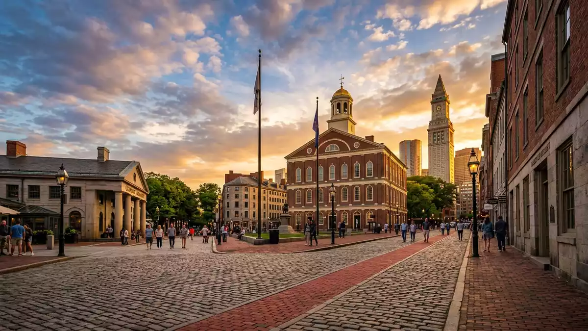
Freedom Trail in Boston is a marked walking route that threads a red line through the city’s oldest streets, connecting a sequence of historic sites from the era of the American Revolution. The trail, stretching for about 2.5 miles (4.0 km), has become a structured way of experiencing central Boston as a continuous historic landscape rather than a collection of isolated landmarks.
A red line linking 18th-century Boston
Freedom Trail is defined physically by a red brick or painted line on the ground that runs through central Boston, the North End and Charlestown, guiding walkers past an array of churches, meeting houses, burying grounds, public squares and waterfront structures associated with the struggle for independence from Britain in the eighteenth century.red line leading to 16 nationally significant historic sites The route links places that feature in events such as the Boston Massacre, the protests against taxation in Old South Meeting House and the fighting at Bunker Hill.
The trail concept was developed and formalised in the early 1950s, when Boston mayor John Hynes dedicated Freedom Trail in 1951 as a way of organising and presenting the city’s revolutionary-era heritage.Boston Mayor John Hynes officially dedicated the Freedom Trail in 1951 Journalist William Schofield, writing in the Boston Herald-Traveler, had outlined the idea that a single pedestrian route could connect scattered historic sites, and this plan was taken up by the city authorities and by civic groups concerned with preservation.William Schofield outlined this plan in his “Have You Heard” column on 8 March 1951
From Boston Common to Charlestown
Freedom Trail is laid out as a linear walk that begins at Boston Common, the city’s central park, and makes its way through downtown streets towards the harbour and across the Charles River to Charlestown Navy Yard.the trail itself stretches from Boston Common to Charlestown Navy Yard Along this route the red line passes sites such as the Massachusetts State House, Park Street Church, Granary Burying Ground, King’s Chapel, Faneuil Hall and Old North Church, each of them carrying its own part of the wider story of protest, organisation and war.the red brick line connects historic sites including Boston Common, Massachusetts State House and Old North Church
In Charlestown the line reaches Bunker Hill Monument, which marks the site of the Battle of Bunker Hill of 1775, and the nearby Charlestown Navy Yard, where visitors can see the eighteenth-century warship USS “Constitution”.the route includes sites of events ingrained in America’s collective memory such as the Battle of Bunker Hill The full walk, at roughly 2.5 miles (4.0 km), is short enough to cover on foot in a single outing yet long enough to draw together several neighbourhoods that played different roles in eighteenth-century Boston.the 2.5-mile Freedom Trail comprises 16 colonial and revolutionary historical sites
Historic sites along Freedom Trail
Freedom Trail is structured around a set of officially recognised sites, many of them museums or working churches that open their interiors to visitors, others public spaces or marked locations in the streetscape. Boston Common, at the start of the trail, has long served as a gathering place, while nearby the Massachusetts State House represents the post-revolutionary seat of government of Massachusetts.Freedom Trail is a 2.5-mile-long path through Boston that passes by 16 locations significant to the history of the United States Burial grounds such as Granary Burying Ground and Copp’s Hill Burying Ground contain the graves of figures from the revolutionary period.
Further along the route, Faneuil Hall and Old South Meeting House recall the mass meetings and speeches that preceded open conflict, while Old State House stands close to the site of the Boston Massacre and the proclamation of the Declaration of Independence in Boston. In the North End, the Paul Revere House sits among narrow streets that preserve the scale of eighteenth-century Boston; the house itself dates from around 1680 and was owned by Revere in the later eighteenth century.Paul Revere House, built around 1680, is the oldest remaining structure in downtown Boston Together, these places form a route that makes the geography of the revolution legible on foot.
Visiting Freedom Trail: what travellers from Western Europe should know
- Freedom Trail runs through central Boston in the state of Massachusetts in the United States, beginning at Boston Common and ending at Charlestown Navy Yard near Bunker Hill Monument.
- The route is laid out for walking on city pavements, with a marked line that includes street crossings, sections of cobbled or uneven surfaces and approach paths at sites such as burying grounds and hilltop monuments.
- Boston is served by Logan International Airport and regional rail services; central stations and stops around Boston Common and the North End provide access on foot to sections of Freedom Trail.
- The official language is English and the currency is the United States dollar.
- Entry requirements depend on your nationality; UK travellers can check the FCDO travel advice at gov.uk/foreign-travel-advice, Irish travellers the Department of Foreign Affairs at ireland.ie.
Searching for Freedom Trail on social platforms
These links open searches for Freedom Trail on each platform.
Frequently asked questions about Freedom Trail
Where is Freedom Trail located?
Freedom Trail is in Boston in the state of Massachusetts in the United States, laid out as a walking route from Boston Common through central neighbourhoods to Charlestown Navy Yard.
What should visitors expect when walking Freedom Trail?
Visitors follow a marked red line for around 2.5 miles (4.0 km), passing historic sites that include churches, meeting houses, burial grounds, civic buildings and monuments linked to the American Revolution.
What makes Freedom Trail distinctive among historic walks?
Freedom Trail is distinctive in that a single continuous route, dedicated in 1951 and marked on the ground, connects key eighteenth-century sites such as Boston Common, Faneuil Hall and Bunker Hill Monument into one coherent walk.


