Hopewell Rocks and the sculpted tides of the Bay of Fundy
Published on 09/07/2026 at 11:35 | Editorial responsibility: Rafael Müller, Editor-in-Chief AD HOC NEWS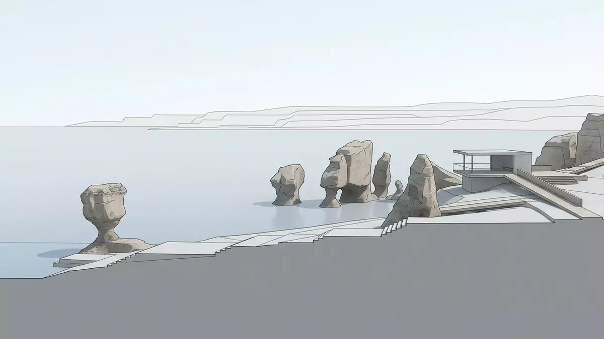
On the Bay of Fundy coast at Hopewell Cape in New Brunswick, Hopewell Rocks is a stretch of shoreline where sandstone cliffs have fractured into free-standing pillars that show, in their very shape, how far the Atlantic tide advances and retreats each day.
Sea stacks on a tidal stage
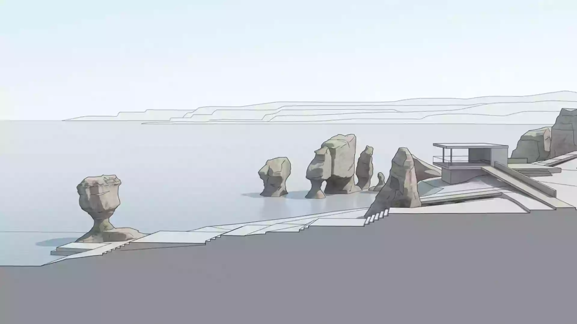
Hopewell Rocks occupies a short section of coastline where the main cliff has broken into groups of sea stacks in the intertidal zone, exposed at low tide and partly submerged when the water returns.sea stacks caused by tidal erosion The formations stand on the upper reaches of the Bay of Fundy, a long, narrowing inlet of the Atlantic that focuses the tide into a pronounced rise and fall along its shores.upper Bay of Fundy at Hopewell Cape
The rocks themselves are carved from Late Carboniferous sandstone and conglomerate, a reddish, layered material that breaks into vertical faces and angular boulders.Late Carboniferous sandstone and conglomerate Over time the sea has undercut softer bands at the base of the cliff, leaving narrow waists and broader tops that give some pillars the appearance of oversized plant pots, with trees and shrubs rooted in the soil above the tide line.sandstone formations topped with trees
Reading the tide in the rock
Hopewell Rocks sits on a coast noted for its extreme tidal range, and at this site the sea can rise and fall by up to around 16 m (52 ft) between low and high tide on some days.tide can vary by up to 16 m The Bay of Fundy’s long, narrowing shape and the depth of its basin amplify incoming Atlantic tides, so seawater covers and uncovers the bases of the cliffs and pillars twice in each lunar day.extraordinary tidal range retreats twice daily
The visible result is a clear band along each formation where waves and floating ice have cut into the rock, leaving narrower lower sections beneath broader caps that remain above the highest tides.sharp visual marker on the rocks Some pillars contain openings at their bases and in their sides, and the main cliff shows sea caves where fractures and weaker layers have been eroded back. The formations stand 12–21 m (40–70 ft) tall, so at low tide the exposed shore lies several storeys below the high-water mark.12–21 metres tall
A coastal landscape shaped by sandstone and forest
Hopewell Rocks forms part of a wider Fundy landscape that includes Fundy National Park and the Fundy Trail, with similar cliffs and forested uplands extending along the New Brunswick shore.Fundy coastal tourism hubs including Fundy National Park and the Fundy Trail At this particular site, however, the combination of eroded sandstone pillars, tree-topped caps and an accessible beach gives an unusual cross-section through the coastline: the main forested plateau, the broken cliff, and the wave-cut platform can all be seen within a short walk.
The shore beneath the cliff is a broad, gently sloping band of firm, dark sediment scattered with boulders that have broken from the formations and wall behind them.intertidal zone across a broad, gently sloping shore Above, mixed forest covers the plateau and the tops of the pillars, with roots reaching into soil that sits well above the highest tide levels. From the main viewing areas along the cliff edge, visitors look down on the pillars, the beach and the changing line of the sea, with the wider Bay of Fundy stretching away into the distance.
Visiting Hopewell Rocks: what travellers from Western Europe should know
- Hopewell Rocks lies on the inner Bay of Fundy coast at Hopewell Cape in the province of New Brunswick in eastern Canada, reached by road on Highway 114 from inland towns such as Moncton.Hopewell Rocks off Highway 114 southwest of Moncton
- The approach from the entrance area runs on established paths and stairways through woodland to viewing decks above the formations and access points leading down to the shore, where the exposed ocean floor is a wide, gently graded surface of compact sediment and scattered rock.
- Hopewell Rocks forms part of a coastal stretch with other named sites: Fundy National Park lies further along the shore, and the wider Bay of Fundy connects to Nova Scotia across the water.location near Fundy National Park
- The official language in this part of Canada is English, and the currency is the Canadian dollar.
- Entry requirements depend on your nationality; UK travellers can check the FCDO travel advice at gov.uk/foreign-travel-advice, Irish travellers the Department of Foreign Affairs at ireland.ie.
Searching for Hopewell Rocks on social platforms
These links open searches for Hopewell Rocks on each platform.
Frequently asked questions about Hopewell Rocks
Where is Hopewell Rocks located?
Hopewell Rocks is on the inner Bay of Fundy coast at Hopewell Cape in the province of New Brunswick in eastern Canada, reached on Highway 114 from inland towns such as Moncton.
What can visitors expect during a visit?
Visitors encounter sandstone cliffs, free-standing sea stacks, forested tops and an exposed shore that lies well below the high-water mark, with the tide covering and uncovering the bases of the formations twice in each lunar day.
What makes Hopewell Rocks distinctive among coastal sites?
The combination of Late Carboniferous sandstone pillars, clear tidal markers along their sides, tree-covered caps and direct access to the ocean floor in the intertidal zone gives Hopewell Rocks a strongly legible record of how the Bay of Fundy tide reshapes its shoreline.