
Isla Holbox, where sand, mangroves and shallow sea meet
Published on 09/23/2026 at 21:05 | Editorial responsibility: Rafael Müller, Editor-in-Chief AD HOC NEWS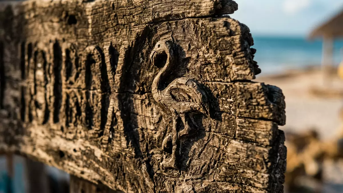
Isla Holbox is a long, low island at the northern edge of Mexico’s Yucatán Peninsula. Sand, mangroves, lagoons and shallow sea define the landscape, while the built-up settlement occupies only part of the island. The visible meeting of land and water is Holbox’s central feature.
Isla Holbox between lagoon and open sea
Holbox belongs to the municipality of Lázaro Cárdenas in Quintana Roo. It lies where the Gulf of Mexico and the Caribbean region meet, with the Yalahau Lagoon separating the island from the mainland. A narrow sandbar forms the island’s base, and the ground remains low across much of its length.
The island extends for about 40 kilometres and reaches roughly 2 kilometres at its broadest point. Its northern shore carries long sandy beaches, while the lagoon side presents shallow water, tidal flats and views towards the mainland. Holbox’s island geography includes channels connecting the sea with the lagoon.
Yum Balam and the island’s mangrove landscape
Isla Holbox forms part of Yum Balam, a protected area established in 1994. The designation includes coastal land and marine environments, with mangrove stands, lagoons, dunes, tropical forest and offshore waters. Large areas outside the settlement retain a natural character.
Mangroves grow along tidal edges, their roots standing in shallow water and soft sediment. Pelicans, herons, egrets, ibis and flamingos occur across the wetlands. The surrounding reserve also provides habitat for reptiles, marine animals and mammals associated with the Yucatán Peninsula. The Yum Balam protected area includes Holbox within a wider ecological zone.
From fishing island to wildlife destination
Fishing shaped the island’s settled economy before tourism became a major activity. The first written mention of Holbox dates from 1852, in a document sent by Don Bartolomé Magaña to the governor of Yucatán. Electricity reached the island in 1987.
The name Holbox comes from Yucatec Maya and is associated with the words “black hole”. The reference belongs to the island’s Maya cultural landscape, alongside fishing traditions and the Spanish colonial history of the wider peninsula. The island’s waters are also associated with seasonal whale shark movements, while its lagoons and shores support birdlife throughout the coastal reserve. Holbox’s written history records the island’s changing relationship with fishing, electricity and tourism.
Visiting Isla Holbox: what travellers from Western Europe should know
- Isla Holbox lies off northern Quintana Roo. Ferries cross from Chiquilá, which connects with the mainland road network.
- The island is low and sandy, with mangrove terrain, tidal edges and unpaved tracks outside the settlement.
- The official language is Spanish and the currency is the Mexican peso.
- Seasonal wildlife includes whale sharks in offshore waters and flamingos around the lagoon and coastal wetlands.
Searching for Isla Holbox on social platforms
These links open searches for Isla Holbox on each platform.
Frequently asked questions about Isla Holbox
Where is Isla Holbox?
Isla Holbox lies off the northern coast of the Yucatán Peninsula, in Quintana Roo, Mexico. The island sits between the mainland and the open waters of the Gulf region.
What is the landscape like?
Holbox combines sandy beaches, shallow lagoon water, mangroves, tidal flats and low coastal vegetation. The settlement occupies part of an island protected within Yum Balam.
What makes Isla Holbox distinctive?
The island brings together a long sandbar landscape and protected wetlands. Flamingos, pelicans and seasonal whale sharks connect the beaches and lagoons with the wider marine reserve.


