
La Rambla in Barcelona and its layered street form
Published on 08/22/2026 at 17:50 | Editorial responsibility: Rafael Müller, Editor-in-Chief AD HOC NEWS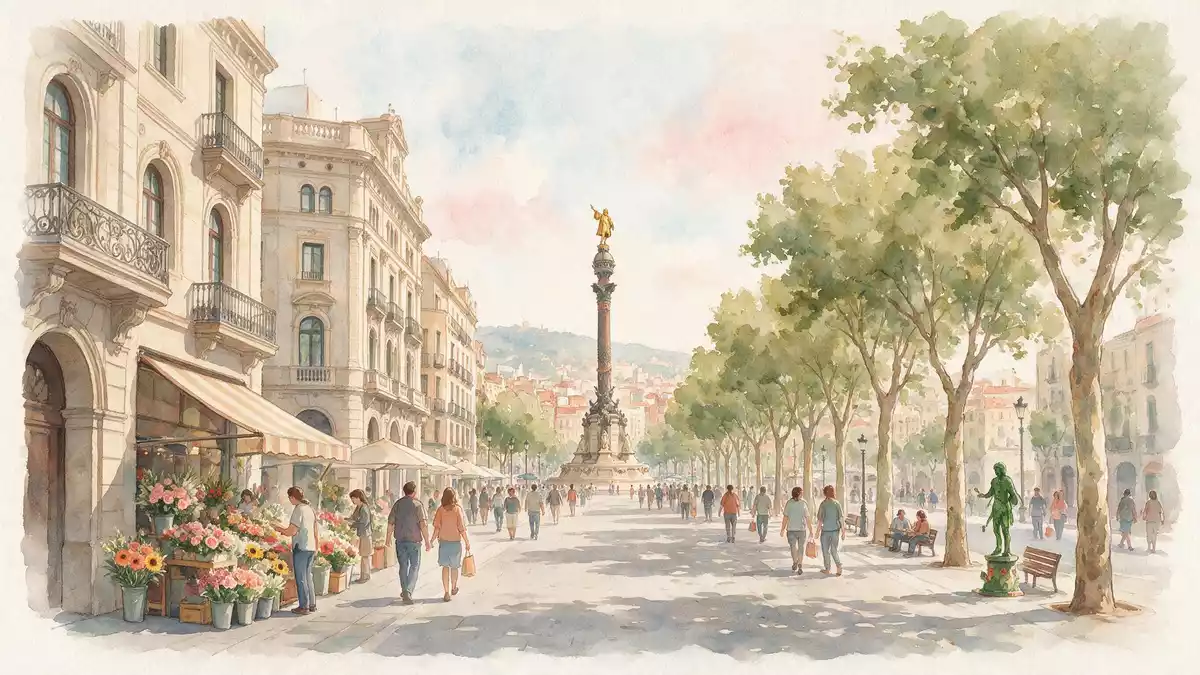
La Rambla is Barcelona’s long central promenade, a street that still keeps the memory of a former watercourse in its name and course. Its identity comes from a mix of medieval walls, later urban rebuilding, and the broad public space that replaced a stream bed.
La Rambla’s street form and civic edge
The name comes from Arabic roots linked to a sandy or dry riverbed, and the route once marked the edge of the city. The street runs between the old town and El Raval, and its course reflects the line of Barcelona’s former walls.former walls
La Rambla is divided into a sequence of named stretches, including Rambla de Canaletes, Rambla dels Estudis, Rambla de Sant Josep, Rambla dels Caputxins and Rambla de Santa Mònica. That division gives the avenue a stepped rhythm rather than a single continuous frontage.named stretches
From watercourse to boulevard
The street developed out of a seasonal stream that ran down from the Collserola hills. In the fourteenth and fifteenth centuries, the city expanded around it, and the old watercourse was absorbed into the urban fabric.seasonal stream
By the eighteenth century, La Rambla had taken on the form of a boulevard lined with public life. Trees, paved walks, markets and theatres later reinforced that role, while the street kept its old line through the city centre.eighteenth century
Monasteries, markets and the street’s public layer
Religious houses once stood along the route, and later urban change replaced many of them with markets, squares and cultural buildings. The result is a street where commerce and civic life sit close together, with La Boqueria among the best-known names associated with the route.La Boqueria
The street’s present character is also tied to its tree-lined central sections and its role as a linking spine between Plaça de Catalunya and the harbour end of the city. That combination of movement, frontage and open space makes it one of Barcelona’s clearest examples of an urban promenade built from older layers.tree-lined central sections
Visiting La Rambla: what travellers from Western Europe should know
- La Rambla runs through the centre of Barcelona, between Plaça de Catalunya and the port end of the city. Metro stations and streets at both ends make it easy to reach on foot from nearby districts.
- The avenue is mostly level, with wide pavements and a central pedestrian axis. Its length is best understood as a walk through connected sections rather than a single uniform street.
- Several landmarks sit along the route, including Mercat de la Boqueria, the Gran Teatre del Liceu and the Columbus monument area. The street therefore reads as an urban sequence rather than a single sightline.
- English is widely understood in Barcelona’s visitor areas, while Catalan and Spanish remain the city’s main public languages. The currency is the euro.
Searching for La Rambla on social platforms
These links open searches for La Rambla on each platform.
Frequently asked questions about La Rambla
Where is La Rambla?
La Rambla is in central Barcelona, running from Plaça de Catalunya towards the harbour side of the city. It forms a broad corridor between the historic centre and El Raval.
What can be seen along it?
The street contains markets, theatres, cafés, kiosks and public squares. Its course is broken into named sections, so it feels like a chain of places rather than a single boulevard.
What makes it distinctive?
Its most distinctive feature is the way an old watercourse became a civic promenade. The street still carries that layered history in its line, its width and its sequence of landmarks.


