
Laguna de Bacalar and its seven colours of blue
Published on 08/24/2026 at 15:28 | Editorial responsibility: Rafael Müller, Editor-in-Chief AD HOC NEWS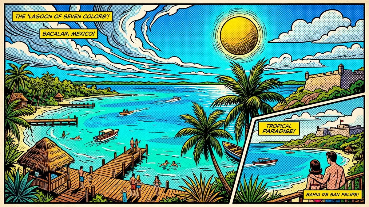
Laguna de Bacalar in Bacalar, Mexico is a long, narrow freshwater lagoon where bands of blue water mark shifts in depth and light across its surface. Stretching for more than 40 km in southern Quintana Roo, it forms a ribbon of clear water beside the town and near the border with Belize, known across the region as the “Lagoon of Seven Colours”.
A ribbon of freshwater on the Yucatán Peninsula
Laguna de Bacalar lies in the state of Quintana Roo in south-eastern Mexico, close to the frontier with Belize and the Caribbean coast. The lagoon runs roughly north–south beside the town of Bacalar, with the municipality of Othón P. Blanco sharing its shores further south, and sits inland from Chetumal on the Yucatán Peninsula.Quintana Roo location The waterway is long and relatively narrow, forming a corridor of freshwater that contrasts with the saltwater Caribbean beyond the coastal strip.
Described as a lake in many sources, Laguna de Bacalar is in fact a lagoon-like body of freshwater fed by underground water and linked to other channels that eventually reach the sea.Long freshwater lake Measurements for its size vary slightly between sources, but they converge on a length of about 42 to 60 km and a maximum width of around 2 km.Approximate dimensions This elongated form creates a sense of linear distance along the shore, with built-up stretches around Bacalar separated by quieter reaches where vegetation and low jetties line the edge.
The “Lagoon of Seven Colours” and its changing hues
The name “Lagoon of Seven Colours” refers to the visible bands of blue across Laguna de Bacalar, which range from pale turquoise near shallow sandbars to deep indigo in its central channels. The lagoon’s floor combines white sand, limestone shelves and several submerged sinkholes or cenotes, and the depth changes sharply between these zones, producing distinct colour stripes on clear days.Lagoon of Seven Colors Sunlight plays across this varied bottom, so that a shift in angle or cloud cover can alter the apparent number and intensity of shades in a short span of time.
Among the features that punctuate these colour changes are freshwater cenotes opening into the lagoon, including the Cenote Azul near Bacalar, which drops steeply and forms one of the deeper points in the system.Cenote Azul description Elsewhere, broad shallows create almost transparent zones where the bottom is visible through clear water, and darker sections mark the courses of deeper channels. The overall effect is of a continuous gradient, with several recognisable bands of colour that have given the lagoon its widely used nickname as the “Lake of Seven Colors”.Lake of Seven Colors
Shoreline life, stromatolites and traces of history
Along the shores of Laguna de Bacalar, small piers, wooden structures and stretches of vegetation mark where the town meets the water. Bacalar itself is recognised as one of the older settlements in Quintana Roo, with a history that includes Maya occupation, Spanish colonisation and later development around the lagoon. The shoreline today combines areas of modest urban fabric with sections of low, tree-lined banks where the water remains the dominant element in the landscape.Bacalar setting
The lagoon is also known for its living stromatolites, layered structures built by microorganisms that are among the oldest forms of life on Earth in geological terms.Living stromatolites These formations grow in certain shallow parts of Laguna de Bacalar and contribute to its scientific interest, adding a biological dimension to the visual appeal of the seven colours. Historical accounts mention that the lagoon and its channels once formed part of routes used by traders and pirates seeking valuable timber, with the waterway providing access between inland settlements and coastal shipping lanes.Historical trade passage
Visiting Laguna de Bacalar: what travellers from Western Europe should know
- Laguna de Bacalar lies beside the town of Bacalar in south-eastern Quintana Roo, inland from the Caribbean and north of Chetumal. It can be reached by road from regional hubs such as Chetumal and other towns along Federal Highway 307.
- The lagoon’s shore around Bacalar includes sections with piers, low banks and simple waterfront structures, while other stretches remain more natural, with vegetation down to the water and an approach that can involve walking on uneven ground.
- Bacalar is in Mexico, where the official language is Spanish and the currency is the Mexican peso.
- Entry requirements depend on your nationality; UK travellers can check the FCDO travel advice at gov.uk/foreign-travel-advice, Irish travellers the Department of Foreign Affairs at ireland.ie.
Searching for Laguna de Bacalar on social platforms
These links open searches for Laguna de Bacalar on each platform.
Frequently asked questions about Laguna de Bacalar
Where is Laguna de Bacalar?
Laguna de Bacalar is in the state of Quintana Roo in south-eastern Mexico, beside the town of Bacalar and north of Chetumal, near the border with Belize.
What can visitors expect on a visit?
Visitors encounter a long freshwater lagoon with clear water showing several shades of blue, simple piers and shoreline structures around Bacalar, and quieter stretches of vegetated shore further away.
What makes Laguna de Bacalar distinctive?
The lagoon is distinctive for its seven recognisable colours of blue, its elongated freshwater form on the Yucatán Peninsula, and the presence of living stromatolites in some shallow areas.


