
Laguna de Bacalar and its seven colours of freshwater
Published on 09/10/2026 at 20:37 | Editorial responsibility: Rafael Müller, Editor-in-Chief AD HOC NEWS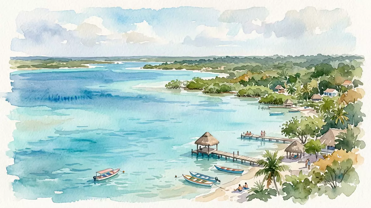
Laguna de Bacalar is a long, narrow freshwater lagoon beside the town of Bacalar in the Mexican state of Quintana Roo, known for striking bands of blue water over pale shallows. The lake, also called Lake Bacalar or Lagoon of Seven Colours, runs alongside Bacalar near Mexico’s border with Belize, forming a calm inland counterpart to the Caribbean coast further east.Lake Bacalar
A freshwater lagoon of seven colours
The feature that defines Laguna de Bacalar is its gradient of blues, which has led to the widespread name “Lagoon of Seven Colours”, or in Spanish “Laguna de los Siete Colores”. Standing on the shore in Bacalar, water close to land appears pale and almost transparent, with a soft turquoise tone over bright sand and limestone. Further out, the colour shifts through richer shades before deepening into darker bands where the lagoon floor drops away in channels and sinkholes linked to the region’s cenotes.Lagoon of Seven Colors in Bacalar
Laguna de Bacalar is a freshwater body, fed by underground water emerging from cenotes and by rainfall, rather than by direct marine inflow. Its length runs to around 42 km (26 mi), with a width that in places reaches around 2 km (1.2 mi), giving it an elongated outline parallel to the regional highway and the Belize frontier.About 42 km long and up to 2 km wide The combination of shallow limestone shelves, deeper sinkholes and clear freshwater supports aquatic vegetation and, in selected areas, visible stromatolite formations.
Stromatolites and limestone shallows
One of the most studied natural features within Laguna de Bacalar is the presence of living stromatolites, layered structures built over time by microbial communities. These formations, found along parts of the shoreline and in shallow zones, resemble rounded, rock-like growths and echo similar structures preserved in ancient geological records.Lake Bacalar stromatolites Their survival in the lagoon gives Bacalar a link to very early life on Earth, while also making water chemistry a focus of local conservation discussions.
The lagoon floor near Bacalar consists largely of pale limestone and sand, creating a bright base that reflects sunlight through the water. In shallow sections this produces light tones, while the sudden depth changes at cenotes and channels introduce darker bands that mark underwater drop-offs. Around the margins, reeds and low vegetation line stretches of shore where the lake narrows, and in other segments small jetties and simple waterfront structures extend into the water from the town side.Laguna de Bacalar beside the town
Bacalar, San Felipe fort and the lagoon’s historical setting
The town of Bacalar stands on the western side of Laguna de Bacalar, near the southern end of Quintana Roo and north of the city of Chetumal. The lagoon’s name is shared with the settlement, which has roots in Maya occupation and later colonial presence, framed by its position on routes between Yucatán, Campeche and Belize.Laguna de Bacalar location Bacalar has been designated a “Pueblo Mágico” in Mexico’s tourism categories, reflecting its historical and natural character in combination.
On a rise above the lagoon stands the Fort of San Felipe de Bacalar, an eighteenth-century stone fortress built in the 1720s under the authority of Antonio de Figueroa y Silva, then governor of Yucatán, following an initiative by Viceroy Juan de Acuña.Fuerte de San Felipe de Bacalar The fortifications, designed by Juan Podio and later modified by engineer Juan de Dios González Dávila, gained significance in conflicts involving British settlers in Belize and in episodes of the nineteenth-century Caste War. The structure now houses a museum focused on piracy and regional history, and its walls offer elevated views across the lagoon’s surface and towards the opposite shore.
Laguna de Bacalar in the wider landscape of southern Quintana Roo
Laguna de Bacalar lies in southern Quintana Roo, north of Chetumal and near the border with Belize, forming part of a chain of water bodies, wetlands and low-lying forest. From Bacalar, the lagoon extends in a long ribbon, with sections aligned to the east of the town and others curving away towards quieter shorelines with fewer buildings. Federal Highway 307 runs near the western side, linking Bacalar with Chetumal and coastal towns further north.Highway from Cancun to Chetumal
The lagoon’s freshwater character distinguishes it from the Caribbean Sea to the east. With its low salinity and clear appearance, Laguna de Bacalar offers a contrast to coastal environments affected by marine conditions. Sections of shore feature simple wooden structures, small waterfront establishments and low piers, while inland streets lead towards the central square and the fort. The combination of water, town and fortress gives Bacalar a layered profile in which colonial stone sits above bright blue water and low urban fabric.
Visiting Laguna de Bacalar: what travellers from Western Europe should know
- Laguna de Bacalar lies beside Bacalar in southern Quintana Roo, Mexico, north of Chetumal and near the border with Belize. Bacalar is reached by road connections passing through Chetumal and other towns in the region.
- The terrain along the town side of the lagoon includes low slopes and constructed steps leading down from streets and the San Felipe fort towards jetties and small waterfront structures.
- In the wet season, rainfall can affect water levels and the appearance of the shoreline, while in drier months exposed limestone and sand shelves are more noticeable along shallow sections.
- The official language is Spanish and the currency is the Mexican peso. Entry requirements depend on your nationality; UK travellers can check the FCDO travel advice at gov.uk/foreign-travel-advice, Irish travellers the Department of Foreign Affairs at ireland.ie.
Searching for Laguna de Bacalar on social platforms
These links open searches for Laguna de Bacalar on each platform.Frequently asked questions about Laguna de Bacalar
Where is Laguna de Bacalar located?
Laguna de Bacalar is in southern Quintana Roo, Mexico, beside the town of Bacalar and north of Chetumal, close to the border with Belize.
What should visitors expect on a first visit?
Visitors encounter a long freshwater lagoon with a visible gradient of blues, pale limestone shallows, sections of deeper water and the colonial San Felipe fort overlooking part of the shore.
What makes Laguna de Bacalar distinctive among Mexican lakes?
Laguna de Bacalar combines an elongated freshwater lagoon with seven-colour blue bands, living stromatolites, cenote-linked depths and the presence of an eighteenth-century stone fortress directly above its shoreline.


