
Matobo Hills, a granite cultural landscape south of Bulawayo
Published on 09/05/2026 at 14:16 | Editorial responsibility: Rafael Müller, Editor-in-Chief AD HOC NEWS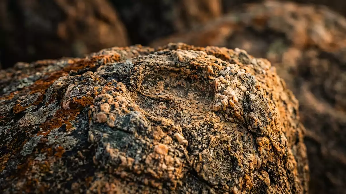
South of Bulawayo in Zimbabwe, Matobo Hills is a broad band of granite hills where rounded rock formations, ancient paintings and active sacred sites share the same terrain. Rising above a granite shield that underlies much of southern Zimbabwe, the hills have been recognised as a UNESCO World Heritage cultural landscape since 2003 for the way geology, archaeology and religion intersect across this area.UNESCO World Heritage cultural landscape
Granite kopjes and wooded valleys
Matobo Hills lies in Matabeleland South Province, roughly south of Bulawayo, on a landscape defined by granite kopjes, great piles of weathered boulders stacked above wooded valleys and open grassland.granite landforms These kopjes rise from a granite plateau and form clusters of domes, ridges and spurs, with bare rock contrasting against patches of shrubs and trees in the hollows. In many places the hills run in bands across the countryside rather than forming a single peak, creating a landscape where rock, vegetation and open sky meet in shifting combinations.
Much of the area is protected within Matobo National Park, which forms a core zone of conservation inside the wider hills.Matobo National Park core area Here, granite domes and kopjes rise above valleys where woodland and grassland support wildlife alongside the geological features. Weathering has produced balancing rocks, overhangs and caves, with some boulders resting on narrow bases and others forming long ridges that frame natural corridors between the hills.
Rock art and a long human presence
Archaeological work in Matobo Hills indicates that humans have interacted with this landscape for well over 100,000 years, leaving traces in shelters and caves across the hills.over 100,000 years of interaction Many of the granite overhangs carry paintings attributed to foraging communities of the Stone Age, including images of animals, human figures and abstract motifs. The density of these sites in Matobo Hills is one of the reasons the area was inscribed on the World Heritage List under cultural criterion (iii) for its concentration of rock art.rock art criterion
Over later millennia, agricultural societies occupied parts of the hills and added their own traces to the landscape, but the rock art remains a prominent visible record of early lifeways. Caves such as Bambata, Inanke and Nswatugi have become reference points for studies of hunter?gatherer societies in southern Africa, with layers of archaeological deposits beneath painted walls.caves with paintings The combination of natural shelters, paintings and surrounding valleys gives visitors a direct sense of how the hills provided both refuge and vantage points in different periods.
Sacred hills and remembered leaders
Matobo Hills is closely associated with long?standing religious traditions centred on shrines in the rocks, including the Mwari oracular system that has played a major role in southern African spiritual life.Mwari religion association Shrines and sacred places in the hills continue to hold significance for local communities, with particular features of the landscape linked to ceremonies and ancestral veneration. This ongoing spiritual use contributed to criterion (vi) at inscription, which recognises the association between the hills and belief systems.
Modern memorials also mark the hills. The grave of Mzilikazi, founder of the Ndebele state in the nineteenth century, lies within Matobo National Park, reflecting his connection with the region.Mzilikazi grave in the park Nearby, on a granite prominence known as World’s View, Cecil John Rhodes is buried, a reminder of the colonial history that also passes through this landscape.Rhodes grave on a prominence These sites, together with older shrines and rock paintings, make Matobo Hills a place where different historical layers remain visible in close proximity.
Visiting Matobo Hills: what travellers from Western Europe should know
- Matobo Hills lies south of Bulawayo in Matabeleland South Province, with Matobo National Park forming a core area of hills, valleys and rock formations reached by road from the city.
- The terrain combines bare granite slopes, kopjes and valleys with woodland and grassland, and approaches to viewpoints or caves frequently involve walking over uneven rock and using paths with some gradient.
- Rivers, dams and open views across the granite hills sit within the wider landscape, and locations such as World’s View give broad panoramas over kopjes, wooded valleys and the surrounding countryside.
- The official language is English and the currency is the Zimbabwean dollar.
- Entry requirements depend on your nationality; UK travellers can check the FCDO travel advice at gov.uk/foreign-travel-advice, Irish travellers the Department of Foreign Affairs at ireland.ie.
Searching for Matobo Hills on social platforms
These links open searches for Matobo Hills on each platform.Frequently asked questions about Matobo Hills
Where are Matobo Hills in relation to Bulawayo?
Matobo Hills lie south of Bulawayo in Matabeleland South Province, on a granite shield that covers much of southern Zimbabwe and includes Matobo National Park as a core area.
What should visitors expect when exploring the hills?
Visitors encounter granite kopjes, wooded valleys, caves with rock art and wide views over hills and grassland, with paths and approaches that involve walking on uneven rock and slopes.
What makes Matobo Hills distinctive within Zimbabwe?
Matobo Hills stands out as a World Heritage cultural landscape combining dramatic granite formations, a dense concentration of rock paintings and enduring sacred sites such as shrines linked to the Mwari religious tradition.


