
Mount Rainier National Park and its rivers of ice
Published on 09/23/2026 at 12:05 | Editorial responsibility: Rafael Müller, Editor-in-Chief AD HOC NEWS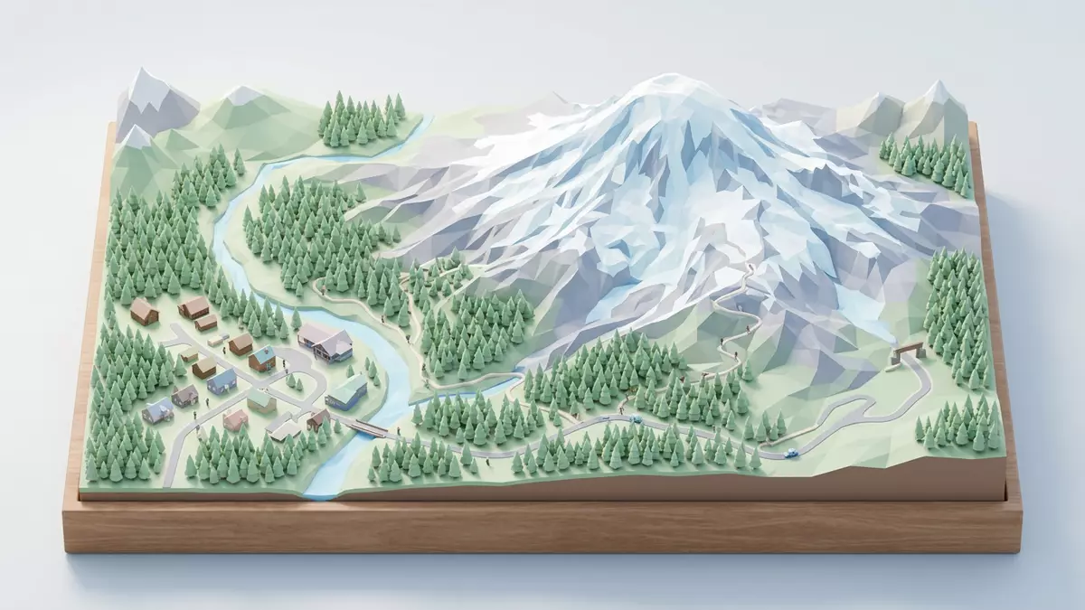
Mount Rainier National Park is a landscape organised around ice. A volcanic summit rises above forests and subalpine meadows, while glaciers descend into valleys and feed rivers across Washington. Established on 2 March 1899, the park surrounds Mount Rainier, a 4,392 m (14,410 ft) active volcano in the Cascade Range.
Mount Rainier National Park: a volcano wrapped in ice
Mount Rainier occupies the park’s centre as a broad volcanic massif with two named summits, Columbia Crest and Liberty Cap. Its upper slopes carry permanent snow and ice, and more than 29 major glaciers reach down from the mountain. Mount Rainier’s elevation gives the peak a marked presence across the Washington landscape.
The glaciers include Nisqually Glacier on the southern side, Emmons Glacier to the east and Carbon Glacier on the north-western flank. Ice-carved valleys, volcanic ridges and rocky slopes surround the summit. Glacial meltwater enters major river systems, including the Nisqually, Carbon, Puyallup, White and Cowlitz rivers.
Forests, meadows and glacier-carved valleys
The park’s lower elevations contain extensive forests of western hemlock, Douglas fir, Pacific silver fir and western red cedar. Higher ground changes into subalpine meadows, where flowering plants colour the open slopes during the snow-free part of the year. The landscape rises from roughly 520 m (1,700 ft) to the summit, creating several distinct ecological zones.
Paradise lies on the mountain’s southern side and is associated with broad meadows, views towards the summit and access to the Muir Snowfield. Sunrise occupies a high eastern position, with open terrain, volcanic ridges and views across the Cascades. The park also contains old-growth forest, waterfalls, lakes and river corridors within its wilderness landscape.
From exploration to a national park
Captain George Vancouver recorded the mountain during a Pacific coast survey in 1792 and named it after Rear Admiral Peter Rainier. Indigenous peoples have long used names for the mountain, including Tahoma, a form retained in regional cultural history.
Mount Rainier National Park became the United States’ fifth national park when Congress established it on 2 March 1899. The 1899 park designation placed the mountain and its surrounding forests, meadows, rivers and glaciers within a protected area. The park covers about 955 square kilometres (369 square miles), with most of its land classified as wilderness.
Mount Rainier also carries a long mountaineering history. Hazard Stevens and P. B. Van Trump completed the first recorded successful ascent in 1870, while Fay Fuller became the first woman to reach the summit in 1890. The park’s recorded history connects exploration, climbing, conservation and Indigenous cultural knowledge.
Visiting Mount Rainier National Park: what travellers from Western Europe should know
- Mount Rainier National Park lies in west-central Washington, south-east of Seattle and near Ashford. Roads approach the mountain from the west, east and south, with Ashford serving as a gateway community.
- The terrain ranges from forest roads and valley trails to high volcanic slopes. Routes around Paradise and Sunrise include steep gradients, rocky ground and exposure to alpine weather.
- Mount Rainier is high-altitude terrain with glaciers, permanent snowfields and active volcanic geology. Conditions on the mountain change with the seasons; the local cable-car operators and alpine clubs provide information.
- The official language is English and the currency is the United States dollar.
- Entry requirements depend on your nationality; UK travellers can check the FCDO travel advice at gov.uk/foreign-travel-advice, Irish travellers the Department of Foreign Affairs at ireland.ie.
Searching for Mount Rainier National Park on social platforms
These links open searches for Mount Rainier National Park on each platform.Frequently asked questions about Mount Rainier National Park
Where is Mount Rainier National Park?
The park is in west-central Washington, on the western slope of the Cascade Range. Ashford lies near the south-western entrance and provides a gateway to the mountain.
What can visitors expect in the park?
Mount Rainier National Park contains forests, waterfalls, lakes, subalpine meadows, volcanic ridges and glacier-carved valleys. Routes range from low-elevation woodland paths to demanding alpine terrain.
What makes Mount Rainier distinctive?
The park combines an active 4,392 m (14,410 ft) volcano with an extensive system of glaciers. Ice and snow descend from the summit into valleys that supply several major rivers.


