
Otaru Unga and its stone warehouses along the water
Published on 08/17/2026 at 14:52 | Editorial responsibility: Rafael Müller, Editor-in-Chief AD HOC NEWS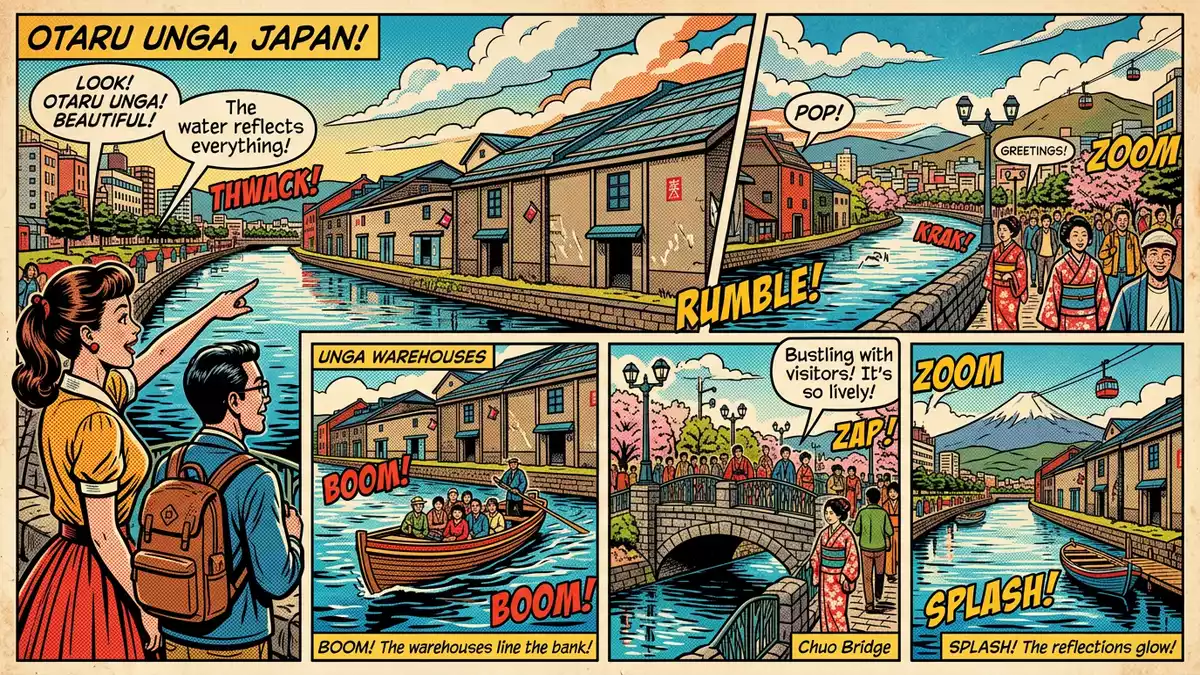
Otaru Unga in the port city of Otaru on Hokkaido is a gently curving canal framed by stone warehouses and a paved waterside path, where rows of gas lamps trace the line between water and city. Built in the early twentieth century as part of Otaru’s trading harbour, it now reads as a continuous waterfront room, with the canal, warehouses and promenade forming one long composition in stone and water.
A harbour canal born from reclaimed islands
Otaru Unga began as a practical answer to freight handling in a harbour whose shoreline had become crowded with barges and cargo.The project to create the canal started in 1914 and ran as a nine-year reclamation scheme along the bay. Instead of cutting an inland channel, engineers reclaimed a series of narrow islands parallel to the existing shore, leaving a waterway between the new land and the old coastline.The reclaimed strip formed a waterway about 40 m (131 ft) wide, wide enough to berth barges alongside new warehouse walls.
The work produced a canal that runs for over one kilometre through the harbour district.The visible canal section is about 1,140 m (3,740 ft) long, following a gentle curve rather than a straight cut through the grid of streets.This curved form reflects the way the coastline was reclaimed offshore, so the canal traces the harbour edge rather than an imposed inland line. In cross-section it reads as a band of water held between masonry quays and low stone walls, with bridges carrying streets across at intervals.
Stone warehouses and a paved promenade
Along both sides of Otaru Unga, stone and brick warehouses stand close to the water, their walls forming a continuous industrial frontage to the canal.Many of these early twentieth-century buildings have been adapted as cafes and restaurants, while others contain shops or small museums using the deep interiors and heavy construction. The warehouse roofs and gables step along the canal in a sequence of different heights, but the materials remain broadly consistent, giving the waterfront a unified, robust character.
On the landward side of the canal, a paved walkway runs along the water, separated from the road traffic by low planting and railings.This promenade was laid out in the late twentieth century when part of the canal width was reclaimed for a road and path, keeping water, warehouses and city access in close relationship. Vintage-style gas lamps line the path in regular intervals, their posts rising from the paving to mark a rhythm along the water’s edge.There are 63 gas lamps along the promenade, and at dusk their small lanterns pick out the line of the canal against the mass of the warehouses. The result is a streetscape where the working fabric of a former port has become a continuous public space, without losing the solid forms that recall its freight past.
From working waterway to heritage canal
For several decades in the first half of the twentieth century, Otaru Unga served as a central part of the port’s logistics network.Large ships offloaded cargo onto smaller vessels, which then moved goods along the canal to the warehouses, reducing congestion on the open shoreline. The canal’s width and sheltered position beside solid quays allowed barges to moor directly against the warehouse walls, so goods moved over short, direct routes between boat and storage.
The role of the canal changed in the late 1930s when new harbour facilities made it possible for large ships to dock and unload directly without using barges.With the opening of a quay in 1937, maritime freight shifted away from the canal, and over time the waterway lost its original function. In the 1960s there were proposals to reclaim the canal and remove warehouses to build new road infrastructure, but a compromise kept a substantial length of water and many of the historic buildings intact.The outcome was a narrower canal with a pedestrian path and restored warehouses, a configuration that supports both everyday life in Otaru and visits from travellers. The canal now acts as a continuous heritage corridor through the harbour district, where the stone structures and water surface recall the city’s twentieth-century trading era.
Visiting Otaru Unga: what travellers from Western Europe should know
- Otaru Unga runs through central Otaru on the north-west coast of Hokkaido in Japan, a short walk north-west from Otaru Station on the main railway line.
- The waterside promenade is paved and largely level, with steps leading down from adjoining streets and occasional ramps where the path meets bridges.
- The canal lies close to Otaru’s harbour district, with streets of shops and former merchant buildings extending inland from the warehouses along the water.
- Japanese is the official language and the currency is the yen.
Searching for Otaru Unga on social platforms
These links open searches for Otaru Unga on each platform.Frequently asked questions about Otaru Unga
Where is Otaru Unga located?
Otaru Unga runs through the harbour district of Otaru on the north-west side of Hokkaido in Japan, a short distance from Otaru Station.
What can visitors expect along the canal?
Visitors encounter a paved promenade beside the water, stone and brick warehouses adapted for cafes, restaurants and shops, and vintage-style gas lamps lining the path.
What makes Otaru Unga distinctive among Japanese canals?
Its gently curving form created by offshore land reclamation, early twentieth-century warehouses directly on the water and long row of gas lamps give Otaru Unga a characteristic harbour atmosphere.


