
Pacific Rim National Park Reserve’s wild edge by Tofino
Published on 09/08/2026 at 22:54 | Editorial responsibility: Rafael Müller, Editor-in-Chief AD HOC NEWS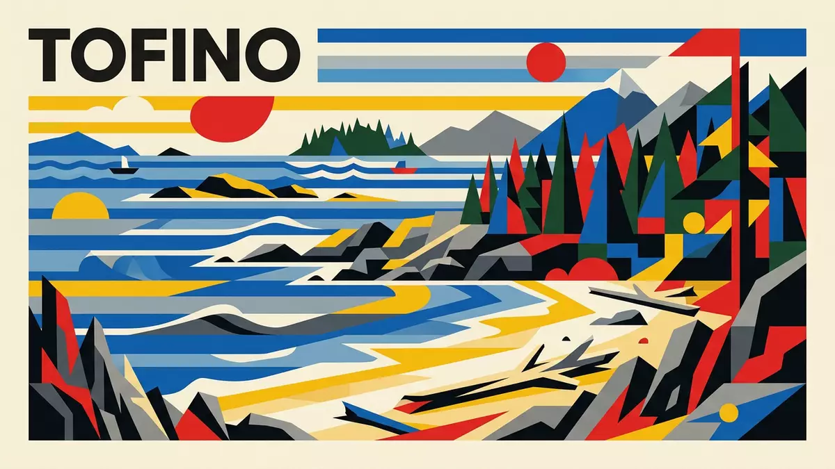
On Vancouver Island’s outer coast, Pacific Rim National Park Reserve frames the approach to Tofino with surf-lashed sand, dense temperate rainforest and low, rocky islands scattered offshore. Extending along the Pacific-facing shore of British Columbia, it forms a coastal band between the villages of Tofino and Ucluelet and further south towards Barkley Sound and Port Renfrew, tying together beaches, forest and ocean in a single protected area.Extending 125 km along the west coast
Three distinct sections along Vancouver Island’s Pacific rim
Pacific Rim National Park Reserve is divided into three clearly defined sections: the Long Beach Unit between Tofino and Ucluelet, the Broken Group Islands scattered in Barkley Sound, and the West Coast Trail running between Bamfield and Port Renfrew.Three separate regions Together they cover a large coastal area measured in hundreds of square kilometres, with Long Beach alone occupying a substantial stretch of shoreline along Highway 4 and the other sections extending south into more remote terrain.Long Beach between Tofino and Ucluelet
The park lies within the Vancouver Island Mountains and the narrow Estevan Coastal Plain, where forested hills drop towards low, sandy and rocky shores on the Pacific Rim.Within the Vancouver Island Mountains The Long Beach Unit runs roughly parallel to the Pacific Rim Highway between the junction for Tofino and Ucluelet, while the Broken Group Islands occupy part of Barkley Sound and the West Coast Trail traces the outer edge of the island between coastal villages that once depended on marine access.
Long Beach and the rainforest between Tofino and Ucluelet
Between Cox Bay and Halfmoon Bay, the Long Beach section of Pacific Rim National Park Reserve presents broad sandy strands backed by low dunes and patches of coastal forest, with short paths leading from roadside parking areas to the open shore.The Long Beach Unit stretches between Tofino and Ucluelet At the same time, more sheltered areas host dense temperate rainforest, where conifers and other trees grow tall in the damp coastal climate, and wooden walkways or trails thread through moss-covered undergrowth above dark soils.
Between the surf beaches and the forest interior, Pacific Rim National Park Reserve forms part of the broader Clayoquot Sound region, recognised as a UNESCO Biosphere Reserve and home to the Nuu-chah-nulth peoples whose territories include these shores and islands.Within the Clayoquot Sound UNESCO Biosphere Reserve Numerous named beaches line the Long Beach Unit, and trails and viewpoints create a sequence of access points where visitors encounter the open Pacific, driftwood-strewn sand and the characteristic mix of waves, mist and forested headlands that has come to define this stretch of Vancouver Island.
Broken Group Islands and the West Coast Trail’s exposed shore
South of Long Beach, the Broken Group Islands form a scattered archipelago in Barkley Sound, with low forested islets, narrow channels and sheltered bays that collectively represent a significant marine and island landscape within Pacific Rim National Park Reserve.Broken Group Islands in Barkley Sound Farther south again, the West Coast Trail section follows a stretch of shoreline between Bamfield and Port Renfrew, crossing rivers and beaches, passing through forest and along exposed coastal bluffs where the Pacific swell meets rock and sand.
Across all three sections, Pacific Rim National Park Reserve encompasses beaches, old-growth coastal temperate rainforest, marine environments and a range of archaeological sites that trace long human presence along this rim of Vancouver Island.Sand beaches and archaeological sites The distances involved mean that each section rewards a different kind of exploration, from short walks and shoreline visits between Tofino and Ucluelet to multi-day coastal trails further south, all set against the constant backdrop of the Pacific Ocean and the forested inland mountains.
Visiting Pacific Rim National Park Reserve: what travellers from Western Europe should know
- Pacific Rim National Park Reserve lies on the west coast of Vancouver Island in British Columbia, with the Long Beach Unit directly reached along Highway 4 between Tofino and Ucluelet.
- The terrain combines long surf beaches with stretches of coastal temperate rainforest, and paths and boardwalks may include wooden steps, exposed roots and uneven, often damp surfaces.
- The Broken Group Islands section sits within Barkley Sound and is characterised by low forested islets and narrow channels, while the West Coast Trail runs along more remote, rugged shoreline between Bamfield and Port Renfrew.
- The official language is English and the currency is the Canadian dollar; entry requirements depend on your nationality, UK travellers can check the FCDO travel advice at gov.uk/foreign-travel-advice, Irish travellers the Department of Foreign Affairs at ireland.ie.
Searching for Pacific Rim National Park Reserve on social platforms
These links open searches for Pacific Rim National Park Reserve on each platform.
Frequently asked questions about Pacific Rim National Park Reserve
Where is Pacific Rim National Park Reserve located?
Pacific Rim National Park Reserve is on the west coast of Vancouver Island in British Columbia, Canada, with the Long Beach Unit between Tofino and Ucluelet along Highway 4.
What can visitors expect when exploring the park?
Visitors encounter surf-facing sandy beaches, temperate rainforest, rocky shores and offshore islands, with short trails and viewpoints connecting roadside access points to the coastal landscape.
What makes Pacific Rim National Park Reserve distinctive among Canadian coastal parks?
The park combines long open Pacific beaches, dense coastal rainforest, a scattered island archipelago and a multi-day coastal trail within one continuous protected rim along Vancouver Island.


