
Parque Nacional Pico Bonito from Caribbean lowland to cloud forest
Published on 09/23/2026 at 06:42 | Editorial responsibility: Rafael Müller, Editor-in-Chief AD HOC NEWS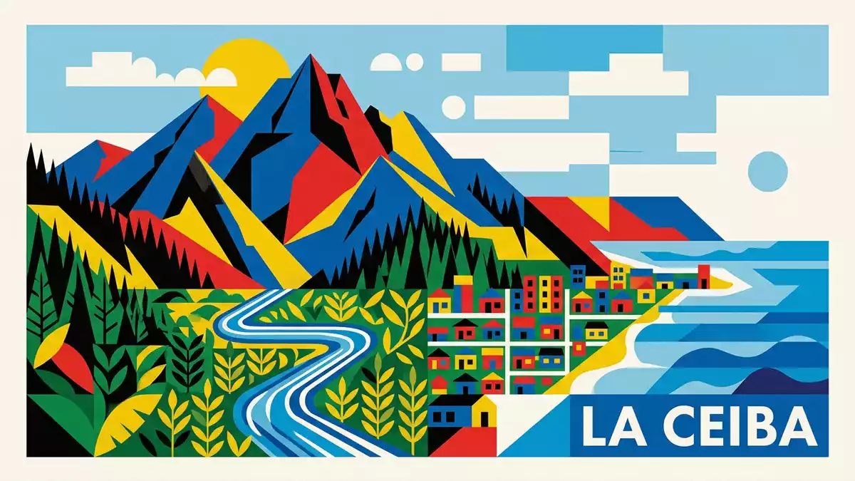
Parque Nacional Pico Bonito rises inland from La Ceiba as a broad wall of forested mountain terrain. The protected landscape climbs from Caribbean lowlands through river valleys and tropical forest towards peaks above 2,400 m (7,900 ft), creating a visible transition from coast to cloud forest.
Parque Nacional Pico Bonito and the Cordillera Nombre de Dios
The park lies in northern Honduras, beside the coastal city of La Ceiba and within the Cordillera Nombre de Dios. Pico Bonito itself is a mountain in the municipality of El Porvenir, close to the city and the Caribbean shore. The range runs along the northern part of the country, with steep slopes rising inland from the coastal plain.
Parque Nacional Pico Bonito became a national park on 1 January 1987. Its protected area covers 564.30 square kilometres, while the surrounding buffer zone is described separately and extends across a much broader landscape. The park forms part of the Mesoamerican Biological Corridor, a connected conservation region across Central America.
Rivers, ridges and changing forest
The terrain includes narrow valleys, steep ridges, rocky channels and dense tropical forest. Rivers descend from the mountains towards the coastal plain, with the Río Cangrejal forming a prominent valley east of La Ceiba. Other watersheds cross the protected landscape, linking upland forest with lower river country.
Elevation changes across the park create several forest environments. Lower ground carries humid tropical vegetation, while higher slopes include montane forest and cloud forest. The protected landscape supports tropical birds, mammals, palms, broad-leaved trees and climbing plants. Its setting within the Cordillera Nombre de Dios gives the park a strong vertical character, with mountain habitats rising above warm coastal valleys.
Pico Bonito’s mountain landscape
The name Parque Nacional Pico Bonito refers to the mountain that dominates the protected area. The peak rises to about 2,435 m above sea level, while terrain inside the wider park ranges from low elevations near the Caribbean foothills to high mountain country. The difference is visible in the changing vegetation, river form and slope of the land.
Several routes and visitor areas are associated with the park, including the Río Cangrejal valley, Río Zacate and forest areas near La Ceiba. These places present different views of the same landscape: fast water in rocky channels, thick rainforest on valley sides and high ridges disappearing into cloud. The park’s scale also includes remote mountain zones, where the landscape becomes more rugged and less accessible.
Parque Nacional Pico Bonito is reached from La Ceiba through roads leading towards the mountain valleys. The city provides the main urban reference point, while El Porvenir lies near Pico Bonito itself. The setting keeps the relationship between Caribbean coast and mountain forest visible throughout the region.
Visiting Parque Nacional Pico Bonito: what travellers from Western Europe should know
- Parque Nacional Pico Bonito lies inland from La Ceiba in northern Honduras. Road access leads from the city towards the Río Cangrejal and other valleys, while El Porvenir is associated with Pico Bonito itself.
- The terrain changes from lowland forest to steep mountain slopes. Routes can include uneven ground, rocky riverbanks, gradients and narrow valley approaches.
- The Río Cangrejal, Río Zacate and other watersheds are permanent features of the park. River sections include rocks, channels and forested banks.
- The official language is Spanish and the currency is the Honduran lempira.
- Entry requirements depend on your nationality; UK travellers can check the FCDO travel advice at gov.uk/foreign-travel-advice, Irish travellers the Department of Foreign Affairs at ireland.ie.
Searching for Parque Nacional Pico Bonito on social platforms
These links open searches for Parque Nacional Pico Bonito on each platform.
Frequently asked questions about Parque Nacional Pico Bonito
Where is Parque Nacional Pico Bonito?
Parque Nacional Pico Bonito is in northern Honduras, inland from La Ceiba and within the Cordillera Nombre de Dios. The protected landscape extends across mountain valleys, forested slopes and river basins.
What can visitors expect from the landscape?
Visitors encounter tropical forest, steep ridges, rocky river channels and routes through valleys such as Río Cangrejal and Río Zacate. The terrain changes markedly between the coastal foothills and the higher forest.
What makes the park distinctive?
Its defining feature is the visible rise from Caribbean lowland to mountain forest. Pico Bonito reaches about 2,435 m, and the park has been protected as a national park since 1 January 1987.


