
River Walk in San Antonio’s sunken riverside streetscape
Published on 08/23/2026 at 15:01 | Editorial responsibility: Rafael Müller, Editor-in-Chief AD HOC NEWS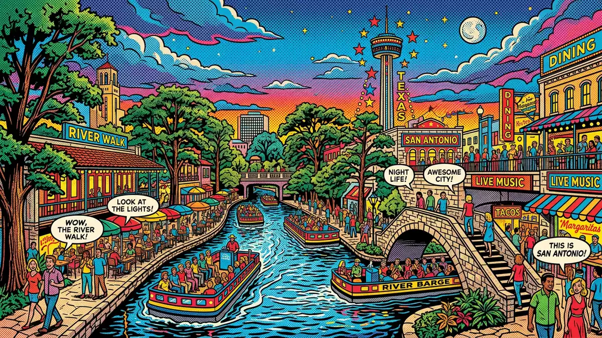
River Walk drops below street level in downtown San Antonio, turning the banks of the San Antonio River into a continuous promenade of water, stone and bridges. Conceived in the late 1920s by architect Robert H. H. Hugman and built in its first form between 1939 and 1941, it has grown into a long linear park that links historic plazas, modern hotels and cultural districts along the river corridor.
A city seen from river level
The defining experience of River Walk is the shift in perspective that comes from descending the stairways from San Antonio’s streets to the water’s edge. At this lower level, the river runs between retaining walls and planted banks, with paths tracing each side and frequent bridges overhead.The downtown section follows a loop of the San Antonio River that bends through the historic core of the city.
Along this loop, the paths pass under street bridges and alongside a mix of older masonry buildings and later glass-fronted structures. The river channel itself was widened and deepened in the late 1930s, and its banks were stabilised with masonry walls and stepped landings.Construction under the Works Progress Administration from 1939 created a continuous pedestrian route at river level that still shapes the experience today.
From flood project to riverside promenade
The origins of River Walk lie in the response to a devastating flood of the San Antonio River in 1921, which led city leaders to search for ways to control the river through the downtown bend.Plans in the 1920s considered straightening and enclosing the river in a flood-control tunnel. Architect Robert H. H. Hugman, a San Antonio native, presented his own proposal in 1929 for a landscaped, below-street river promenade lined with shops and dwellings instead.
Federal funding under the New Deal transformed this proposal into built form. The Works Progress Administration provided money in 1938 and construction of the first River Walk section began in 1939, with work continuing until 1941.The initial network of walkways and bridges created a loop of paved paths, stairways and arched crossings around the downtown river bend. Later decades saw further extensions north and south, including the Museum Reach and Mission Reach projects completed in the early twenty-first century.These newer sections extended the riverside paths as a continuous urban and park landscape.
A linear park linking plazas, missions and modern districts
Beyond the compact downtown loop, River Walk stretches along the San Antonio River as a long corridor of paths and plantings that link several distinct reaches. Upstream, the Museum Reach connects the central area to redeveloped industrial sites and cultural venues such as the Pearl district, while downstream the Mission Reach runs as a more naturalistic parkland corridor towards the historic Spanish colonial missions.The overall river project frames the waterway as both an urban feature and an ecological resource.
Within the central section, plazas and stairways connect River Walk directly to street-level landmarks such as Main Plaza and the area around the Alamo. Paths are generally paved, with occasional short ramps and flights of steps, and the river edge alternates between straight retaining walls and stepped terraces. Trees, including mature bald cypress, line parts of the bank and rise above the walkways, so that their canopies are visible from street level while their trunks stand close to the water.Later extensions added further landscaping and linked the central loop to these outer reaches, turning River Walk into a continuous route along the river through the city.
Visiting River Walk: what travellers from Western Europe should know
- River Walk follows the San Antonio River through downtown San Antonio in the US state of Texas, with paths at river level below the main streets.
- Access from street level is mainly by outdoor stairways, some of them long and relatively narrow, and sections of the riverside paths include steps and changes in level.
- The central section of River Walk runs close to landmarks such as Main Plaza and the Alamo area, and the wider route links districts including the Museum Reach and Mission Reach.
- The official language is English and the currency is the United States dollar.
- Entry requirements depend on your nationality; UK travellers can check the FCDO travel advice at gov.uk/foreign-travel-advice, Irish travellers the Department of Foreign Affairs at ireland.ie.
Searching for River Walk on social platforms
These links open searches for River Walk on each platform.
Frequently asked questions about River Walk
Where is River Walk located?
River Walk is a developed section of the San Antonio River in downtown San Antonio, in the US state of Texas, with paths running at river level below the streets.
What can visitors expect when exploring River Walk?
Visitors encounter paved riverside paths, stairways down from street level, bridges overhead and a sequence of plazas, plantings and buildings lining the San Antonio River.
What makes River Walk distinctive among urban riverside walks?
River Walk is distinctive for its sunken promenade below street level, its origins in a 1930s flood-control and beautification project and its later expansion into a long linear park.


