
Savannah Historic District and the rhythm of its squares
Published on 08/18/2026 at 14:34 | Editorial responsibility: Rafael Müller, Editor-in-Chief AD HOC NEWS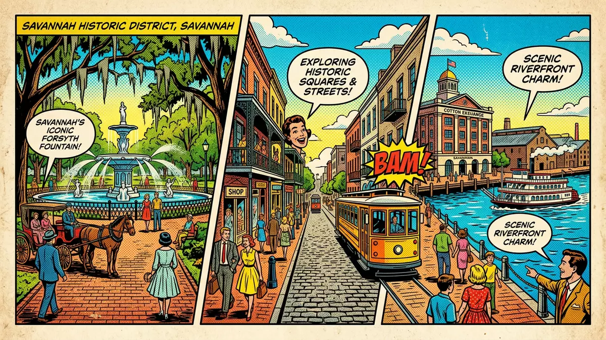
Savannah Historic District in Georgia’s coastal city of Savannah is a National Historic Landmark where an eighteenth-century town plan still structures streets, squares and houses in a compact grid. Laid out under General James Oglethorpe in 1733, the district preserves an urban pattern of green public rooms framed by brick and stucco facades that gives downtown Savannah a distinctive rhythm of open space and dense building.
Oglethorpe’s plan and the pattern of squares
When General James Oglethorpe founded Savannah in 1733, he set out a repeating pattern of wards, each centred on a public square with surrounding streets and building lots.Oglethorpe founded Savannah in 1733 The wards combine four smaller residential tithing blocks and four larger trust lots reserved for civic buildings around each square, creating a regular grid of streets with frequent pauses of greenery.Each ward included a central square
The squares occupy an area of roughly one square mile within downtown Savannah, and most continue in locations set in the eighteenth and nineteenth centuries.Savannah's 22 squares are located across a one-square-mile area The American Society of Civil Engineers recognises this city plan, often called the Oglethorpe Plan, as a National Historic Civil Engineering Landmark for the way it integrates streets, squares and building lots into a coherent urban structure.Oglethorpe’s plan is a National Historic Civil Engineering Landmark
A National Historic Landmark district by the river
Savannah Historic District corresponds closely to the pre–Civil War city limits and covers an area of about 1,300 acres (5.3 km²), bounded by the Savannah River to the north, Gwinnett Street to the south, East Broad Street to the east and Martin Luther King Jr. Boulevard to the west.The district covers about 1,300 acres The United States Department of the Interior designated the area a National Historic Landmark District on 13 November 1966, recognising its significance for community planning and architecture.The district was designated a National Historic Landmark District in 1966
Within these boundaries the district contains the majority of Savannah’s historic squares, Forsyth Park in the south and the riverfront along River Street.The Historic District includes 24 squares, Forsyth Park and River Street Bull Street runs through the centre of the grid, linking City Hall near the river with Forsyth Park, so that a walk along this axis moves between civic buildings, churches and residential blocks while crossing a sequence of shaded squares.
Squares, streets and architectural character
The squares within Savannah Historic District are framed by townhouses, churches and civic buildings from the eighteenth and nineteenth centuries, many built in brick with stucco, wrought-iron balconies and wooden shutters.The plan created building lots for residences and public buildings Many squares contain a central monument, statue, fountain or other feature, so that each one has its own focal point set among trees and planting.Most squares contain a feature in the centre
The streets between the squares often carry names associated with the early colony, and some routes retain cobblestone paving close to the riverfront, particularly around River Street and its access ramps down to the wharves.Cobblestone streets line the riverfront Together the grid, the squares and the architecture give the district a layered character in which formal planning and mature trees sit alongside brick warehouses and former cotton factors’ buildings that face the river.
Visiting Savannah Historic District: what travellers from Western Europe should know
- Savannah Historic District lies in downtown Savannah, Georgia, between the Savannah River and Gwinnett Street and between East Broad Street and Martin Luther King Jr. Boulevard. It is accessible on foot from the city’s central hotels and from the riverfront along River Street.
- The district’s streets follow an eighteenth-century grid punctuated by a series of public squares, so walking routes involve frequent crossings of small parks and some uneven paving near the riverfront cobblestones.
- River Street below the bluff is reached by staircases and ramps that connect the upper streets to the waterfront, and some stairways are narrow or steep compared with modern standards.
- The official language is English and the currency is the United States dollar.
- Entry requirements depend on your nationality; UK travellers can check the FCDO travel advice at gov.uk/foreign-travel-advice, Irish travellers the Department of Foreign Affairs at ireland.ie.
Searching for Savannah Historic District on social platforms
These links open searches for Savannah Historic District on each platform.
Frequently asked questions about Savannah Historic District
Where is Savannah Historic District located?
Savannah Historic District occupies the historic core of Savannah, Georgia, between the Savannah River and Gwinnett Street and between East Broad Street and Martin Luther King Jr. Boulevard.
What can visitors expect when exploring Savannah Historic District?
Visitors encounter a grid of streets punctuated by public squares, lined with historic houses, churches and civic buildings, and a riverfront of former warehouses and cobbled quays.
What makes Savannah Historic District distinctive among historic city centres?
The district’s repeating pattern of wards and squares, devised by General James Oglethorpe in 1733 and preserved across an area of about 1,300 acres, gives it a consistent structure rare among historic city centres.


