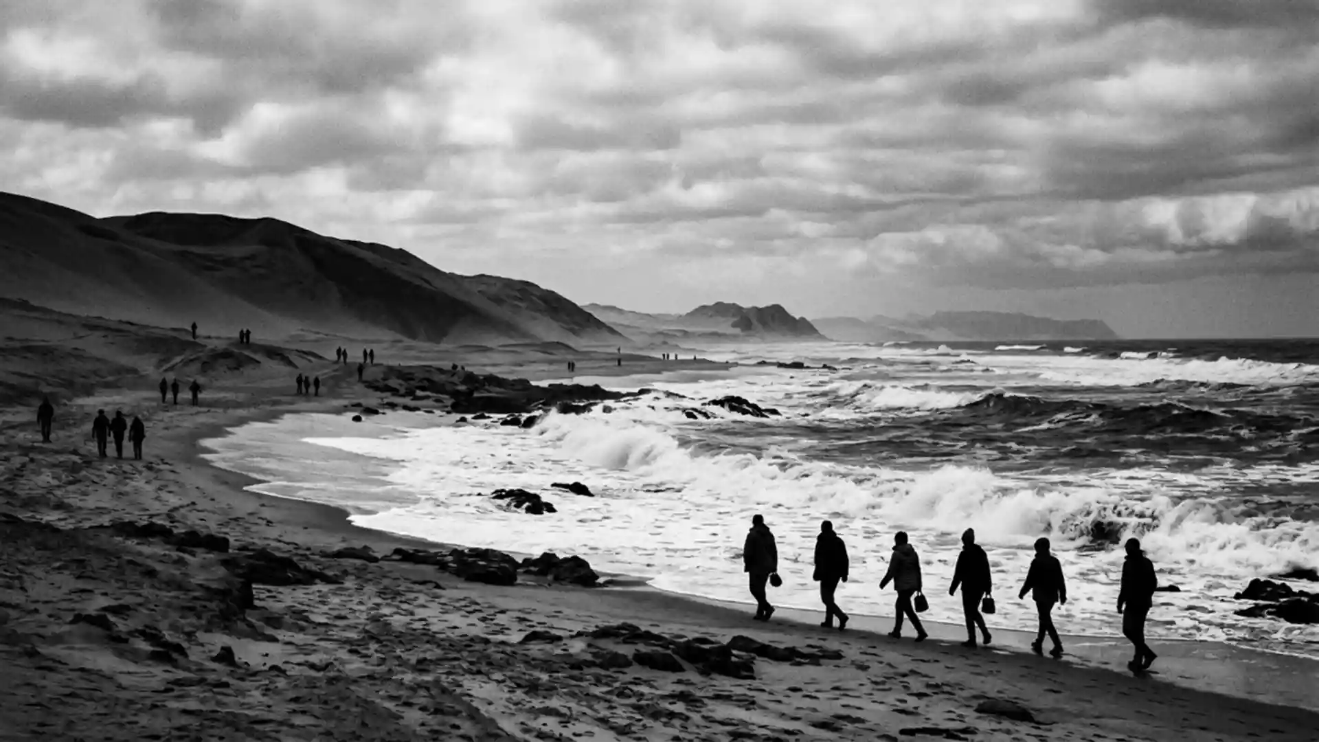
Skeleton Coast at Torra Bay where desert meets wreck-strewn surf
Published on 08/16/2026 at 14:15 | Editorial responsibility: Rafael Müller, Editor-in-Chief AD HOC NEWS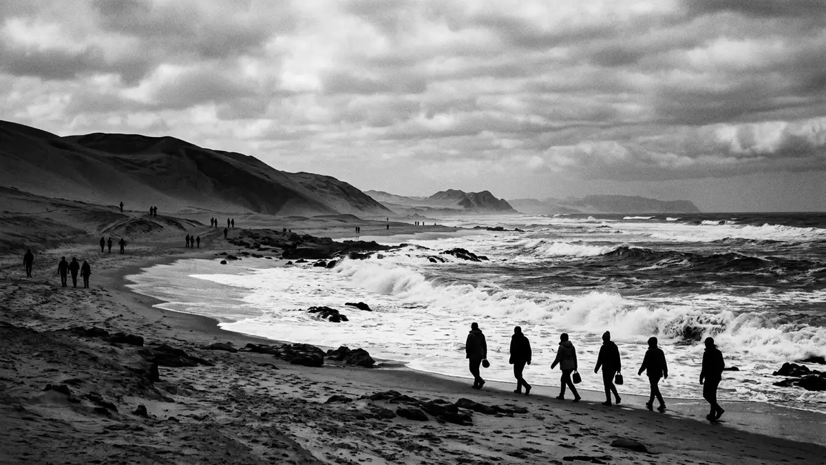
On Namibia’s Skeleton Coast, the stretch of shore around Torra Bay sets the Atlantic Ocean directly against the Namib Desert, with waves, sand and shipwrecks sharing the same harsh margin. Protected as part of Skeleton Coast National Park, this coastline combines bleak beauty with traces of maritime disaster and a long, empty horizon.
Shipwreck shore on Namibia’s northwest coast
Skeleton Coast runs along the north-western Atlantic flank of Namibia, forming a long corridor where desert and ocean meet in a narrow band of beach, gravel plains and dunes.This coastal stretch in Namibia lies far from major towns, and Torra Bay sits inside the protected area, facing the cold Benguela Current. The Skeleton Coast National Park covers a large area in this region, with the shoreline running for hundreds of kilometres and the park spanning tens of thousands of square kilometres between the Ugab River and the Kunene River on the Angolan border.Skeleton Coast National Park is located along the shoreline of northwest Namibia
The name Skeleton Coast reflects what visitors find along parts of this shore: the remains of ships and the bones of marine animals scattered across certain beaches. Many wrecks lie stranded in the sand or just offshore, relics of vessels lost to fog, swell and currents over many decades.Shipwrecks are scattered across the area Some are little more than rusted ribs and twisted frames, others still show sections of hull or superstructure tilting above the surf. Inland, the desert floor carries old tracks, dry riverbeds and low rises of rock that emphasise the sense of exposure.
Torra Bay: fishing camp on an exposed beach
Torra Bay itself functions as a simple fishing settlement within the park, set on the open Atlantic shoreline with camp plots, service buildings and a filling station stretched along the beach sand.Torra Bay is a seasonal fishing retreat inside the Skeleton Coast Park The Benguela Current flows northwards along this coast and enriches the waters with nutrients, which in turn support fish that bring anglers to this outpost.The fishing grounds off Torra Bay are known for their richness
The campsite at Torra Bay lies directly beside the beach, with the surf a short walk from the rows of marked plots.The site in the Skeleton Coast Park has designated camp sites along the shore Facilities remain basic compared with urban campgrounds, with shared ablution blocks and a small shop providing only limited supplies.Amenities at Torra Bay consist of water, firewood, a shop and a petrol station The focus stays firmly on the surrounding environment: the line of surf, the wind off the ocean and the bare desert running inland.
Desert, dunes and wildlife along the Skeleton Coast
Behind the narrow strip of beach and campsite, the Namib Desert stretches inland as gravel plains and low dunes, with higher dune fields rising further north in the park.Gravel plains and dune systems form the inland landscape The terrain looks almost waterless, yet ephemeral rivers cut through it in broad, dry beds that only carry water in certain conditions. In the northern reaches of the park, features such as the Hoarusib River valley and the Agate Mountains add cliffs and salt pans to the mix;the northern region of the park includes river courses and salt pans from Torra Bay these lie far up the coast but form part of the same protected system.
Along the shoreline near Torra Bay, cold Atlantic water supports seals, birds and abundant marine life, while inland the desert hosts hardy plants and animals adapted to long dry spells. North of Torra Bay, large seal colonies occur at certain headlands where rock and sea meet,the northern area is well known for its large population of seals and seabirds patrol the surf for fish. The contrast between the apparent barrenness of the sand and the activity along the waterline forms a central part of the Skeleton Coast’s character.
Visiting Skeleton Coast: what travellers from Western Europe should know
- Skeleton Coast lies in north-western Namibia along the Atlantic Ocean, with Torra Bay situated within Skeleton Coast National Park between the Ugab River and the Kunene River corridor.
- Road access reaches Torra Bay along the coastal C34 and via the inland C39 through Damaraland, with a park road linking gates such as Springbokwasser to the bay.
- The terrain around Torra Bay is exposed, with soft beach sand, gravel plains and low dunes, so movement away from the main tracks involves walking on loose surfaces.
- The official language is English and the currency is the Namibian dollar.
- Entry requirements depend on your nationality; UK travellers can check the FCDO travel advice at gov.uk/foreign-travel-advice, Irish travellers the Department of Foreign Affairs at ireland.ie.
Searching for Skeleton Coast on social platforms
These links open searches for Skeleton Coast on each platform.Frequently asked questions about Skeleton Coast
Where is the Skeleton Coast at Torra Bay?
This part of the Skeleton Coast lies in north-western Namibia, within Skeleton Coast National Park, on the Atlantic shore around the small settlement of Torra Bay.
What should visitors expect at Skeleton Coast near Torra Bay?
Visitors encounter an exposed coastline with surf, sand, gravel plains and simple facilities at Torra Bay’s campsite, set beside the Atlantic within a remote desert park.
What makes this stretch of Skeleton Coast distinctive?
The area is marked by the meeting of the Namib Desert and the cold Atlantic, scattered shipwrecks, rich surf fishing off Torra Bay and the protected status of Skeleton Coast National Park.