
Stanley Park’s forested peninsula and seawall in Vancouver
Published on 08/17/2026 at 14:10 | Editorial responsibility: Rafael Müller, Editor-in-Chief AD HOC NEWS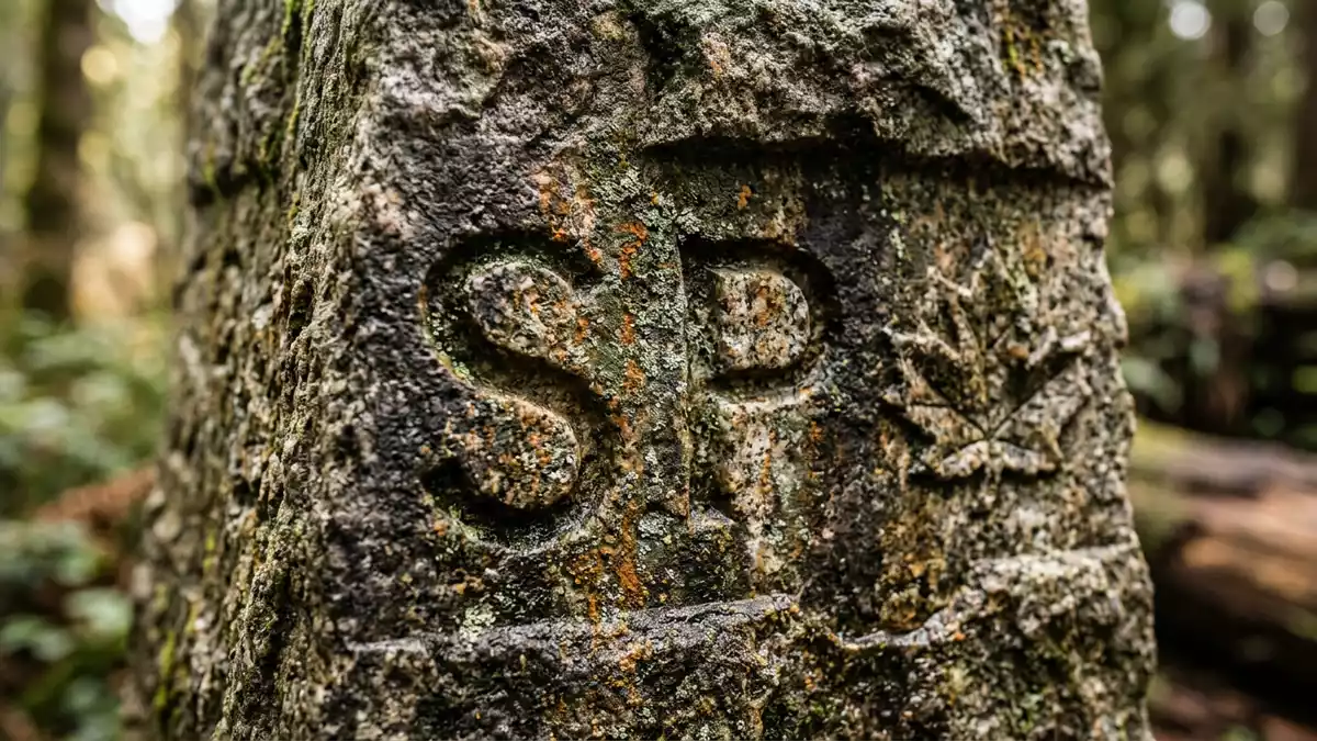
Stanley Park in Vancouver is a forested peninsula laid out as a city park in the late nineteenth century, framed by water and a continuous seawall path. Created as Vancouver’s first official park in 1888 and named for Governor General Lord Frederick Stanley, it preserves dense coastal forest while accommodating roads, trails and recreation areas.
A nineteenth-century city park on an older Indigenous landscape
The peninsula occupied by Stanley Park forms the western edge of Vancouver’s downtown, projecting between Burrard Inlet to the north and English Bay to the south. Long before the park’s dedication in 1888, this land was part of the traditional territory of Coast Salish peoples, including the Musqueam, Squamish and Tsleil-Waututh nations, with villages such as Whoi Whoi or X?wayx?way recorded on the site.traditional territory of Coast Salish First Nations Archaeological and historical work traces centuries of occupation here, with longhouses and clearings preceding the colonial period.village called Whoi Whoi, or Xwayxway
European authorities designated the peninsula a government reserve in 1859, using it primarily for military purposes linked to control of Vancouver’s harbour entrance.government reserve in 1859 After Vancouver incorporated as a city in 1886, the new council petitioned the federal government to lease the reserve as a public park, and by 27 September 1888 it opened formally under the name Stanley Park in honour of Lord Stanley, the sixteenth Earl of Derby.opened as a public park in 1888 and named after Lord Stanley
Forest, seawall and shoreline perspectives
Stanley Park combines extensive second-growth forest with shorelines that give varied views of Vancouver’s harbour, the Lions Gate Bridge and the North Shore mountains. The park’s trees include Douglas fir, western red cedar and hemlock, with remnants of earlier logging visible in old stumps cut for access planks.historic tree stumps that still bear the marks of planks Inside the park, roads and footpaths wind between forested slopes, open lawns and small lakes, forming loops that connect viewpoints and recreation areas.
Encircling much of the peninsula is the Stanley Park seawall, a paved path built along the water’s edge that carries walkers and cyclists around the park’s outer rim. From this route, there are uninterrupted outlooks across Burrard Inlet, under the steel span of the Lions Gate Bridge and towards distant peaks. On the English Bay side, beaches and open water provide a contrast to the working harbour and shipping lanes visible to the north.Stanley Park story on the City of Vancouver site
Gardens, monuments and carved poles
Within the park, formal and informal landscapes sit alongside one another, reflecting successive phases of development between the early twentieth century and the post-war decades. Managed gardens around key entrances and lawns recall British-influenced park design, shaped under superintendent W.S. Rawlings, whose programmes between 1913 and 1936 combined ornamental planting with preserved natural areas.developed by the City of Vancouver between 1913 and 1936 Memorials and plaques in different corners of Stanley Park mark events and people connected with Vancouver’s civic history, shipping and literature.
One of the park’s most recognisable ensembles is the group of totem poles installed near Brockton Point, carved in styles associated with Indigenous communities from coastal British Columbia. These poles present figures and narratives in wood, drawing attention to histories from outside the colonial park story.sites, landmarks and totem poles in Stanley Park Nearby, viewpoints face the harbour narrows where Burrard Inlet meets the open waters beyond, and walking routes link this area to Prospect Point and other high ground.
Visiting Stanley Park: what travellers from Western Europe should know
- Stanley Park occupies a peninsula immediately north-west of central Vancouver, bordered by Burrard Inlet and English Bay, and is reached on foot, by bicycle, by road and by public transport.
- Inside the park, many paths rise and fall across forested slopes, with stairways, kerbs and uneven ground between viewpoints, lakes and the seawall.
- The park lies in Canada, where the official languages are English and French and the currency is the Canadian dollar.
- Entry requirements depend on your nationality; UK travellers can check the FCDO travel advice at gov.uk/foreign-travel-advice, Irish travellers the Department of Foreign Affairs at ireland.ie.
Searching for Stanley Park on social platforms
These links open searches for Stanley Park on each platform.
Frequently asked questions about Stanley Park
Where is Stanley Park in relation to Vancouver’s city centre?
Stanley Park extends from the north-west edge of downtown Vancouver onto a peninsula between Burrard Inlet and English Bay, linked to the city by roads and paths.
What can visitors expect during a walk through Stanley Park?
A walk through Stanley Park crosses forested areas, shoreline paths, viewpoints over the harbour and the bay, and sections of the seawall carrying both pedestrians and cyclists.
What makes Stanley Park distinctive among Vancouver’s green spaces?
Stanley Park combines nineteenth-century park planning, Indigenous village sites, extensive coastal forest and a continuous seawall route around a peninsula beside a major Pacific harbour.


