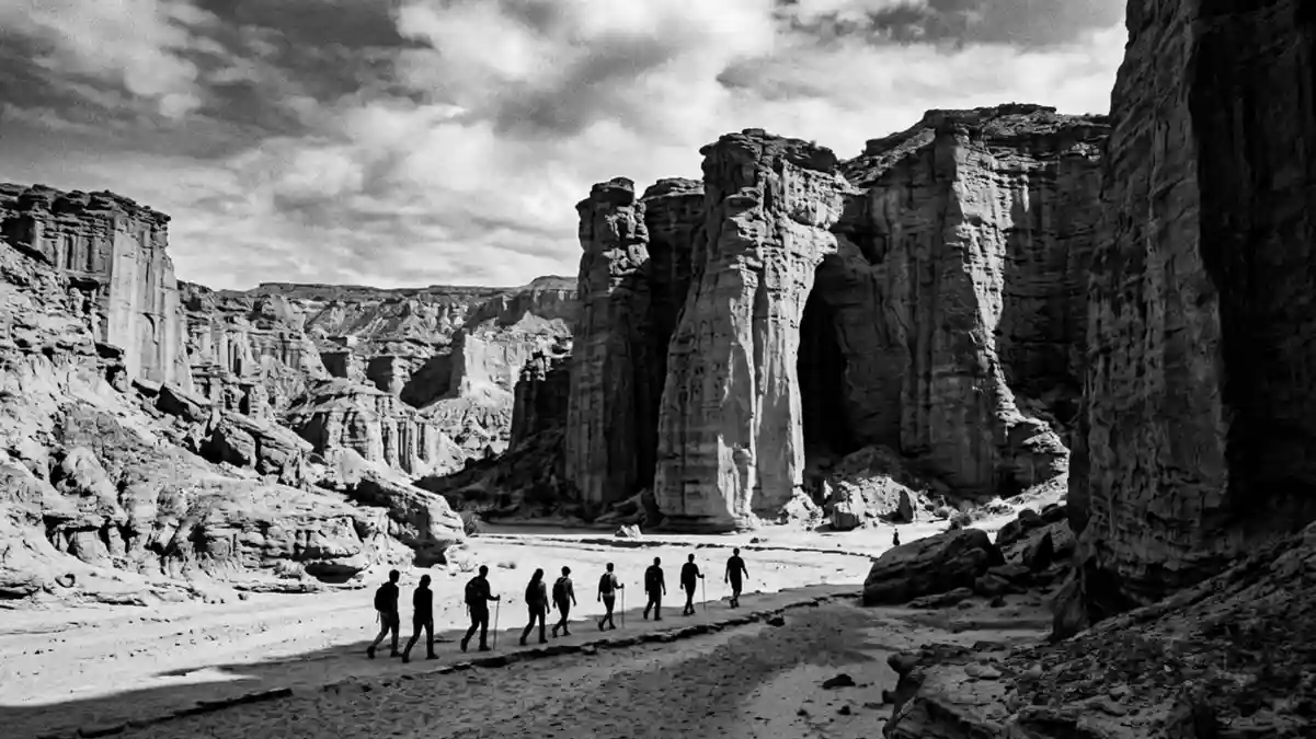
Talampaya National Park adopts EarthRanger on 16 November
Published on 11/14/2026 at 13:11 | Editorial responsibility: Rafael Müller, Editor-in-Chief AD HOC NEWSManagement system and protected landscape
- Argentina’s park authority schedules EarthRanger operations at Talampaya National Park for 16 November 2026.
- EarthRanger will record patrols, biodiversity observations, incidents and wildfire alerts across 21 protected sites.
- Talampaya National Park became a provincial park in 1975, a national park in 1997 and a World Heritage Site in 2000.
- Villa Unión in La Rioja is the park’s administrative reference town.
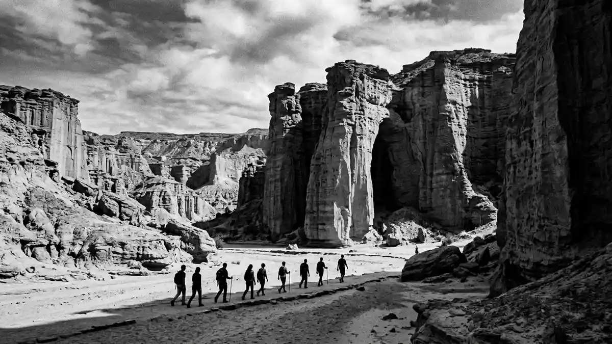
Talampaya National Park (Talampaya) in La Rioja is included in Argentina’s EarthRanger rollout, whose first operational phase is scheduled to begin on 16 November 2026. The change concerns how the protected area records and shares information about conservation, patrols, incidents and emergencies.
EarthRanger rollout reaches Talampaya on 16 November
The National Parks Administration approved EarthRanger through a joint measure published on 3 November 2026. The official schedule places Talampaya among 21 initial protected sites, with field testing already under way and operational use planned for 16 November 2026.
EarthRanger is a cloud-based platform developed and operated by AI2. The system can bring together information from digital radios, tracking devices, camera traps, sensors and other compatible equipment. Its listed uses include patrols, operational incidents, biodiversity observations, alerts, wildfire prevention and response, visitor safety, logistics and the status of vehicles or equipment. The official EarthRanger measure also provides for coordinated administration by the National Conservation and Operations directorates.
Talampaya’s protected landscape gives the system a defined setting
The park lies in La Rioja and preserves more than 213,000 hectares of the Monte de Sierras y Bolsones ecoregion. Its landscape contains dinosaur and plant remains, as well as evidence of mammal ancestors from the Triassic period. Together with Ischigualasto in neighbouring San Juan province, it forms a continental fossil record described by the park authority as the most complete of its period.
The area was created as a provincial park in 1975 and became a national park in 1997. UNESCO added it to the World Heritage List in 2000. That history gives the November rollout a specific conservation context: the platform is planned for a landscape where patrol records, biodiversity observations and emergency alerts relate to both geological and biological heritage. The La Rioja tourism authority describes the park as having separate southern and northern access portals with different walking, cycling and vehicle-based experiences.
What the rollout means for conservation records
The measure replaces the earlier SMART implementation project while requiring existing information to be identified, backed up and classified before repositories are discontinued. It says the new platform will support common procedures and institutional data protection, with access levels assigned according to users’ roles and operational needs.
The first phase is organised as a sequence of operator training, field testing, administrator training and Ecoscope training. The schedule states that the initial phase is expected to continue with support and consolidation activities until 18 December 2026. The change is therefore an internal management development rather than a published alteration to the park’s trails, entrance arrangements or visitor programme.
Visiting Talampaya National Park: what travellers from Western Europe should know
- EarthRanger operations are scheduled to begin at the park on 16 November 2026; the measure concerns management information rather than a visitor event.
- No closure or changed entrance is announced in the EarthRanger measure. The platform is intended for patrols, conservation observations, alerts and operational responses.
- The park is in La Rioja province, with the National Parks Administration listing its intendancy in Villa Unión. Argentina’s tourism information identifies access from Villa Unión via National Route 76 and from San Agustín del Valle Fértil via Provincial Route 510 and National Route 76.
- The terrain includes red-rock canyons, fossil-bearing formations and archaeological remains. Several activities require organised groups and local guides, while the park’s northern and southern portals serve different areas.
- The official language is Spanish and the currency is the Argentine peso.
- Entry requirements depend on your nationality; UK travellers can check the FCDO travel advice at gov.uk/foreign-travel-advice, Irish travellers the Department of Foreign Affairs at ireland.ie.
Searching for Talampaya National Park on social platforms
These links open searches for Talampaya National Park on each platform.
Frequently asked questions about Talampaya National Park
When does EarthRanger begin at Talampaya National Park?
The first operational phase is scheduled to begin on 16 November 2026, with Talampaya among 21 initial protected sites.
What is changing at Talampaya National Park?
Argentina’s National Parks Administration is introducing EarthRanger for conservation, patrol, incident, biodiversity and emergency information. The measure does not announce a new entrance or trail closure.
Where is Talampaya National Park and how do you get there?
The park is in La Rioja province. Listed approaches run from Villa Unión via National Route 76 and from San Agustín del Valle Fértil via Provincial Route 510 and National Route 76.