
Thingvellir, where Iceland’s parliament met between cliffs and lake
Published on 09/08/2026 at 07:29 | Editorial responsibility: Rafael Müller, Editor-in-Chief AD HOC NEWS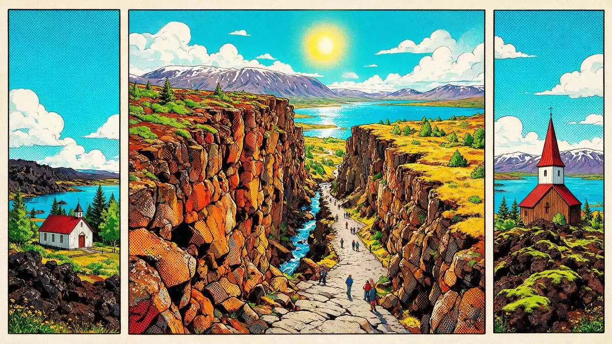
Thingvellir in south-west Iceland is one of the few places where a country’s political origins and its raw geology share the same open-air stage. On a broad plain above Lake Thingvallavatn, the historic meeting place of the Alþingi sits inside a rift valley where the North American and Eurasian plates drift apart.
Assembly plains and the birth of Alþingi
The name Thingvellir translates as “assembly plains” and refers to the open site where Iceland’s general assembly, the Alþingi, was established in 930.Althing established in 930 Delegates representing regions across Iceland gathered here to hear laws proclaimed and to have disputes settled in front of the wider community.foundation of Althingi The assembly met at Thingvellir for centuries, forming the centre of the Icelandic Commonwealth before the island moved under foreign rule.
Although the timber structures and shelters used by chieftains have long disappeared, the topography that framed these gatherings is still evident. The rocky edge of the rift valley, known as the Almannagjá canyon, forms a marked backdrop to the grassy plain where the Law Rock once stood. Standing here, the relationship between the parliament site and the surrounding cliffs is clear, with the open assembly fields running between dark lava walls and the lake below.
From parliament field to national park and World Heritage Site
In 1930 Thingvellir was designated Iceland’s first national park, marking one thousand years since the Alþingi was founded.national park founded in 1930 Protection was later strengthened through specific conservation legislation, and a dedicated committee operates under the Icelandic Parliament to manage the area.Thingvellir National Park Act The park covers tens of thousands of hectares, taking in the assembly site, stretches of lava fields and the northern shores of Lake Thingvallavatn.
Thingvellir was added to the UNESCO World Heritage List in 2004 as a cultural site that preserves the remains and landscape of the medieval parliament fields.inscribed as World Heritage in 2004 The World Heritage property focuses on the core assembly area, while the wider national park and the lake form a buffer zone with strict protection. For travellers, this status means that paths, viewpoints and explanatory panels are arranged to highlight both the historical traces and the striking setting in which they sit.
Walking the rift between continents
Beyond its political story, Thingvellir is notable for its geology. The park lies on a section of the Mid-Atlantic Ridge that reaches Iceland on land, and the valley itself is a rift formed where the North American and Eurasian tectonic plates move apart.part of Atlantic ridge The cliffs, fissures and lava fields visible around the assembly plain are products of repeated volcanic activity and slow crustal movements that continue to alter the landscape.
Visitors follow marked paths down through Almannagjá, where the route leads between high basalt walls before opening onto the low-lying meadows and waterways. Further away from the main assembly site, other fissures cut through the lava, some partly filled with clear water connected to Lake Thingvallavatn. The lake itself spreads out south of the valley, bordered by volcanic slopes, and forms a large freshwater basin that is important for the local ecosystem.northern shore of Lake Thingvallavatn
Visiting Thingvellir: what travellers from Western Europe should know
- Thingvellir lies north-east of Reykjavík in south-west Iceland, on the northern shore of Lake Thingvallavatn in the Southern Region. Roads from the capital cross upland heaths before descending towards the rift valley and the national park.
- The main viewpoints and the historic assembly fields are reached on foot along surfaced paths and wooden walkways. Some routes include sections of steps and short slopes between the canyon edge and the lower plain.
- Nearby, the lake shore and lava fields offer longer walks away from the assembly site. Surfaces vary between grass, compacted earth and broken volcanic rock, so sturdy footwear is advisable for exploring beyond the immediate viewpoints.
- The official language is Icelandic and the currency is the Icelandic króna.
- Entry requirements depend on your nationality; UK travellers can check the FCDO travel advice at gov.uk/foreign-travel-advice, Irish travellers the Department of Foreign Affairs at ireland.ie.
Searching for Thingvellir on social platforms
These links open searches for Thingvellir on each platform.
Frequently asked questions about Thingvellir
Where is Thingvellir?
Thingvellir is in the Southern Region of Iceland, north-east of Reykjavík, on the northern shore of Lake Thingvallavatn within a protected national park.
What can travellers expect on a visit?
A visit centres on walking between lava cliffs, viewing the historic assembly plain and exploring paths that lead towards the lake, waterfalls and fissures in the rift valley.
What makes Thingvellir distinctive?
Thingvellir is distinctive because it combines the medieval meeting place of the Alþingi with a visible tectonic rift, earning protection as Iceland’s first national park and as a UNESCO World Heritage Site.


