
Tottori Sakyu, Japan’s sea-facing dunes of sand and sky
Published on 09/02/2026 at 10:41 | Editorial responsibility: Rafael Müller, Editor-in-Chief AD HOC NEWS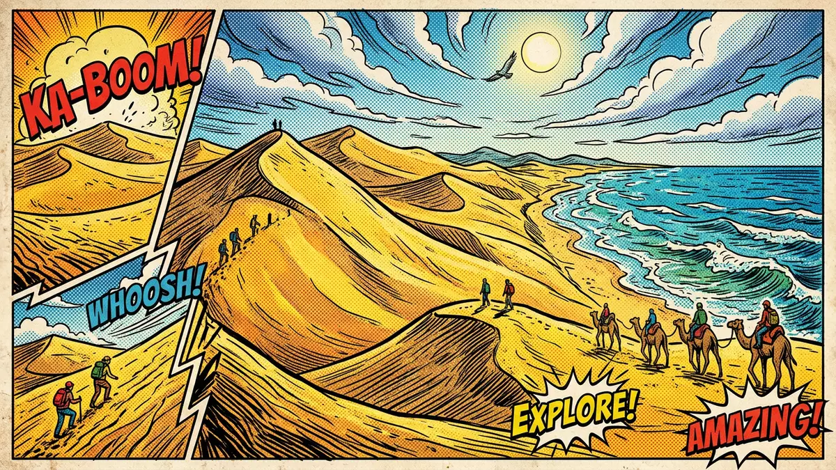
Tottori Sakyu, better known in English as the Tottori Sand Dunes, forms a broad sweep of pale sand along the Sea of Japan coast just outside the city of Tottori in western Honshu. Stretching for many kilometres between the shoreline and the low hills inland, this coastal dune field gives Japan a landscape more often associated with deserts than with a temperate, island nation.
A coastal desert along the Sea of Japan
The simplest way to picture Tottori Sakyu is as a long, sandy band between sea and countryside, its surface grooved by wind into ridges and troughs that face the waves of the Sea of Japan. The dunes lie on the northern edge of Tottori City, occupying a strip of coast where the Sendai River meets the sea and sand has accumulated into a continuous dune belt.The Tottori Sand Dunes form the best-known dune landscape in Tottori Prefecture and sit within the wider San’in Kaigan coastal region of western Honshu.Located in the heart of the San’in Kaigan Geopark
Measured along the shoreline, the dune field runs for roughly 16 km (10 mi) east to west, while its width inland reaches about 2 km (1.2 mi) at its broadest point.The dunes span 16 kilometres of coast Within this area, dune ridges rise to around 50 m (164 ft) above sea level, with one of the highest points known as Umanose creating a natural viewpoint over the surrounding coastline.dunes that can rise to about 50 m The combination of broad, open slopes and sharper ridges means the landscape can look quite different from one vantage point to the next.
Wind-shaped sand in a protected geopark
Geographically, Tottori Sakyu is part of the San’in Kaigan Geopark, a coastal area recognised as a UNESCO Global Geopark in 2015 for its varied marine and terrestrial landforms along the Sea of Japan.designated a National Geopark in 2008 Within this framework, the dunes stand out as a National Natural Monument, representing a rare continuous dune system in Japan’s otherwise rugged, cliff-lined west coast.designated both a National Natural Monument and a UNESCO Global Geopark
The dunes themselves consist of fine, marine sand carried to the coast by rivers such as the Sendai and reshaped by prevailing winds into a shifting relief of ridges and hollows.The Tottori sand dunes In places, the sand surface is broken by patches of hardy vegetation and by shallow basins where water can briefly collect after rain, underlining that this is not a desert in the climatic sense but a coastal landscape where sand dominates the view. The backdrop of low, green hills and, on clear days, more distant mountains gives Tottori Sakyu a layered profile of sand, sea and upland ridges.
Visitor focus on dunes, sea and interpretation
Most visits to Tottori Sakyu centre on the main dune area near Fukube-cho Yuyama, a district of Tottori City that serves as the principal access point to the dunes.Fukubech? Yuyama, Tottori City From here, paths in the sand lead up and over the nearest ridges towards the sea, and the steepest slopes give a sense of how the dunes rise in a relatively short horizontal distance. On the landward side, buildings cluster around the access roads, including facilities that introduce the geology and ecology of the dunes in more detail.
The Tottori Sand Dunes Visitor Centre presents the background to the landscape with dioramas, high-resolution imagery and interpretive displays, including a wind tunnel device that demonstrates how dune crest patterns form under different conditions.Tottori Sand Dunes Geopark Visitor Center Together with the information provided across the San’in Kaigan Geopark, this allows visitors to place the dunes within a larger coastal story that includes rocky headlands, marine terraces and offshore islets along the Sea of Japan shoreline.
Visiting Tottori Sakyu: what travellers from Western Europe should know
- Tottori Sakyu lies on the Sea of Japan coast north-east of Tottori City in Tottori Prefecture, with access by bus from JR Tottori Station to stops near the dunes.
- The main dune area rises in a series of sandy slopes and ridges, and reaching the higher viewpoints involves walking on loose sand up gradients that can feel noticeably steep.
- The dunes sit within the San’in Kaigan National Park along a stretch of coast where the Sendai River meets the Sea of Japan, so sea views and river outflow are part of the setting.
- The official language is Japanese and the currency is the yen.
- Entry requirements depend on your nationality; UK travellers can check the FCDO travel advice at gov.uk/foreign-travel-advice, Irish travellers the Department of Foreign Affairs at ireland.ie.
Searching for Tottori Sakyu on social platforms
These links open searches for Tottori Sakyu on each platform.
Frequently asked questions about Tottori Sakyu
Where is Tottori Sakyu located?
Tottori Sakyu lies on the Sea of Japan coast just outside Tottori City in Tottori Prefecture, on the northern side of western Honshu.
What should visitors expect on a visit?
Visitors encounter a broad dune landscape of sand ridges, open slopes and sea views, with walking routes in loose sand and interpretation facilities near the main access points.
What makes Tottori Sakyu distinctive among Japanese landscapes?
Tottori Sakyu is recognised as Japan’s largest coastal dune system, combining a long, continuous dune belt with its setting inside the San’in Kaigan Geopark and National Park.


