
Transfagarasan, the mountain road above Curtea de Arges
Published on 08/22/2026 at 18:13 | Editorial responsibility: Rafael Müller, Editor-in-Chief AD HOC NEWS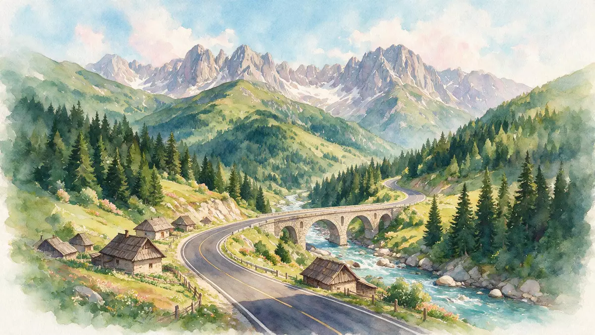
South of the Fagaras Mountains in central Romania, Transfagarasan rises from Curtea de Arges as a sinuous national road that cuts directly across the Carpathians between Muntenia and Transylvania.
A high road through the Fagaras range
Transfagarasan is officially designated DN7C, a paved national road that crosses the southern section of the Carpathian Mountains between Arges County on the southern side and Sibiu County to the north.Transfagarasan is the road through the Fagaras Mountains The route begins near Bascov in Arges County, close to Pitesti, then passes north of Curtea de Arges before climbing into the Fagaras range in the direction of Cartisoara on the Transylvanian side.It begins near Bascov and climbs towards Cartisoara
The road’s alignment follows a north–south line across some of Romania’s highest mountains, connecting the historical regions of Wallachia and Transylvania and linking the wider areas around Sibiu and Pitesti.The road connects Transylvania and Wallachia DN7C reaches alpine terrain near Lake Balea and a road tunnel at over 2,000 m (6,562 ft), placing it among Romania’s highest paved mountain roads.DN7C reaches near Lake Balea tunnel at an altitude of 2,042 m
Engineering a strategic mountain crossing
Transfagarasan was conceived as a strategic mountain crossing in the socialist period, built under the leadership of Nicolae Ceausescu using military engineering units working from both the southern and northern ends of the route.Works started in December 1969 from both ends with army engineers Construction began in December 1969, with engineers from a regiment based in Ramnicu Valcea tackling the southern section and a regiment from Alba Iulia working from the north.
The main road works were completed in the first half of the 1970s, with an official inauguration held on 20 September 1974 in the presence of Ceausescu.The road was completed on 20 September 1974 with Ceausescu present Asphalting continued afterwards, and the modern sealed surface in use today took shape by around 1980, giving DN7C its present form as a continuous paved highway through the Fagaras range.Asphalting of the road followed and the present route was completed in 1980
Curves, dams and high mountain scenery
Across its full alignment Transfagarasan runs for roughly 151 km (94 mi), though the most dramatic high-mountain section is shorter and concentrates the tightest curves and steepest gradients into a compact stretch.Its total length is approximately 151 kilometres DN7C begins near Bascov and ends at the intersection with DN1 between Sibiu and Brasov, near Cartisoara, bridging rivers, reservoirs and alpine valleys along the way.The road begins near Bascov and ends near Cartisoara at DN1
The road surface is paved throughout and the alignment includes numerous bridges and viaducts, with one source counting hundreds of spans and several dozen viaduct structures on the route.Transfagarasan is paved and crosses 830 bridges and 27 viaducts In its upper reaches near Balea, DN7C climbs towards a long tunnel close to the crest of the range, reaching over 2,000 m (6,562 ft) in altitude and passing between high peaks such as Moldoveanu and Negoiu, the highest and second-highest summits in Romania.The mountain road stretches between Moldoveanu and Negoiu and climbs to an altitude of 2,042 metres
Visiting Transfagarasan: what travellers from Western Europe should know
- Transfagarasan lies in central Romania, running between Bascov in Arges County and the junction with DN1 near Cartisoara in Sibiu County, with Curtea de Arges on its southern approach.
- The road climbs into high mountain terrain in the Fagaras range, where gradients are steep and long sections consist of tight hairpin bends and exposed stretches above reservoirs and valleys.
- The official language is Romanian and the currency is the Romanian leu.
- Entry requirements depend on your nationality; UK travellers can check the FCDO travel advice at gov.uk/foreign-travel-advice, Irish travellers the Department of Foreign Affairs at ireland.ie.
Searching for Transfagarasan on social platforms
These links open searches for Transfagarasan on each platform.
Frequently asked questions about Transfagarasan
Where is Transfagarasan in relation to Curtea de Arges?
Transfagarasan begins near Bascov in Arges County and passes north of Curtea de Arges before climbing into the Fagaras Mountains towards Cartisoara in Sibiu County.
What kind of landscape does Transfagarasan cross?
DN7C traverses the southern section of the Carpathians, passing reservoirs, steep valleys and the high plateau around Lake Balea beneath some of Romania’s highest peaks.
What makes Transfagarasan distinctive among Romanian roads?
Its combination of a long sealed mountain highway, numerous bridges and viaducts, altitude above 2,000 m (6,562 ft) and position between Moldoveanu and Negoiu makes Transfagarasan a striking alpine road.


