
Wahat Siwa, desert oasis of salt lakes and mud-brick forts
Published on 08/23/2026 at 14:36 | Editorial responsibility: Rafael Müller, Editor-in-Chief AD HOC NEWS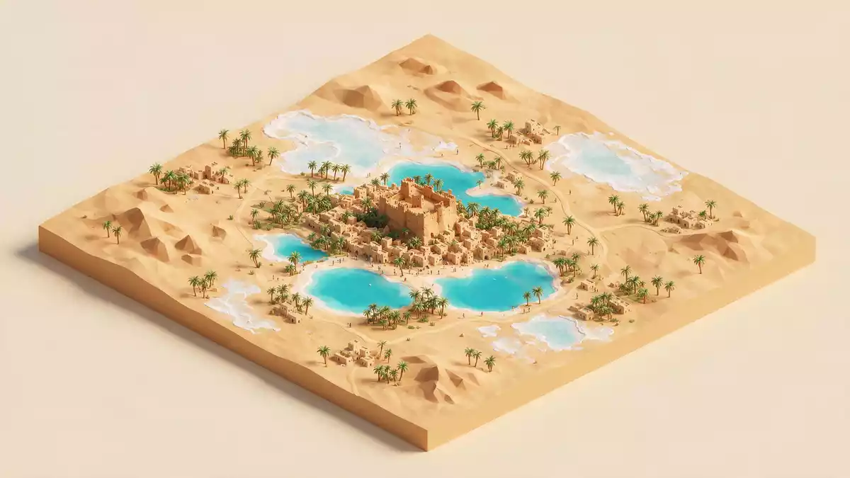
Wahat Siwa, better known internationally as the Siwa Oasis, is a desert basin of palms, salt lakes and mud-brick settlements in Egypt’s far west. Set between the Qattara Depression and the Great Sand Sea, it lies close to the Libyan frontier and has grown over centuries into an isolated urban oasis with its own Berber language and architectural traditions.
A basin of palms, salt and stone
Wahat Siwa occupies a natural depression in Egypt’s Western Desert, a low-lying bowl hemmed in by limestone escarpments and long ridges of sand. The oasis lies between the Qattara Depression to the north and the Great Sand Sea to the south, in the arid belt often described as Egypt’s Western Desert.between the Qattara Depression and the Great Sand Sea The basin stretches for several tens of kilometres, long from east to west and narrower from north to south, with settlements, orchards and springs scattered around its floor.
Salt lakes occupy some of the lowest parts of Wahat Siwa, their surfaces taking on pale, crystalline colours where high salinity interacts with desert light.the oasis lies in a depression below sea level Around them, belts of date palms, olive groves and small gardens follow irrigation channels and natural springs. Beyond the cultivated fringes, low hills and escarpments mark the transition from oasis floor to open desert, with views out towards sand seas and table-like plateaux.
Layers of history in a remote settlement
The Arabic name “Wahat Siwa” simply means “Siwa Oasis”, and it appears across historical records and modern maps for this cluster of settlements in the desert west of the Nile.the Oase Siwa entry Human presence here reaches back to deep prehistory, with evidence of occupation in and around the basin long before pharaonic Egypt took shape. In antiquity the oasis became known for an oracle dedicated to Amun, giving rise to the ancient name “Oasis of Amun-Ra”, and drew rulers and travellers making the long journey from the Nile valley.
Siwa developed over centuries as one of Egypt’s most isolated oases, separated from other settlements by expanses of sand and rock. The population includes Berber communities whose Siwi language belongs to the wider Berber family.Siwi as a Berber language Mud-brick fortresses and compact villages, some built on small hills or rocky outcrops, speak to periods when defence and compactness mattered, while shrines, tombs and temple ruins mark religious and political ties reaching back to the pharaonic period and later eras of Egyptian history.
Mud-brick architecture and oasis life
Architecture in Wahat Siwa reflects the climate, available materials and long tradition of building with earth. Many older structures use a mixture of mud and salt-rich local stone, formed into thick walls that support several storeys of rooms and terraces. In the historic core, whole clusters of houses once rose together in dense agglomerations, the outer walls doubling as defensive facades and shelter against desert winds.
Beyond these older cores, more dispersed neighbourhoods, farmsteads and compounds spread among palm gardens and orchards. Water from springs and wells feeds channels that support agriculture and small-scale cultivation, while tracks and roads tie together villages, gardens and outlying sites such as temple remains and rock-cut tomb areas. The daily rhythm of Wahat Siwa follows oasis life: work among palms and olives, movement along dust roads, and activity clustered around markets, schools and community spaces within the settlements.
Visiting Wahat Siwa: what travellers from Western Europe should know
- Wahat Siwa lies in Egypt’s Matrouh Governorate in the Western Desert, west-southwest of Cairo and close to the border with Libya; travel is generally overland from Nile valley cities or Mediterranean coastal towns.
- The oasis sits in a natural depression with salt lakes, escarpments and dunes; moving between viewpoints, lake edges and historic mud-brick settlements involves walking on uneven sandy and stony ground, often with modest slopes and informal paths.
- Nearby landmarks include desert plateaux and outlying springs, reached along desert roads that connect the main town with smaller villages and cultivated pockets scattered across the basin floor.
- The official language is Arabic and the currency is the Egyptian pound.
- Entry requirements depend on your nationality; UK travellers can check the FCDO travel advice at gov.uk/foreign-travel-advice, Irish travellers the Department of Foreign Affairs at ireland.ie.
Searching for Wahat Siwa on social platforms
These links open searches for Wahat Siwa on each platform.
Frequently asked questions about Wahat Siwa
Where is Wahat Siwa?
Wahat Siwa is an oasis basin in Egypt’s Western Desert, between the Qattara Depression and the Great Sand Sea, west-southwest of Cairo and close to the Libyan border.
What can visitors expect on a visit to Wahat Siwa?
Visitors encounter salt lakes, palm groves, mud-brick fortresses and dispersed villages in a wide desert depression with views towards dunes, escarpments and rocky plateaux.
What makes Wahat Siwa distinctive among Egypt’s oases?
Its remote position, depression landscape with salt lakes, and Berber-influenced culture expressed through the Siwi language and traditional mud-brick architecture give Wahat Siwa a distinctive character.


